Was at the immigration a few weeks ago and the TV was promoting Mae Ngat. Had a little trouble searching for Mae Ngat on the web because
the video spelt it as = Mae Ngan
the road signs spelt it as = Mae Ngad
the maps spelt it as = Mae Ngat
This is a known problem and having checked with the nice staff at my language school, I know it is near Mae Taeng. No problem locating it on the maps thereafter.
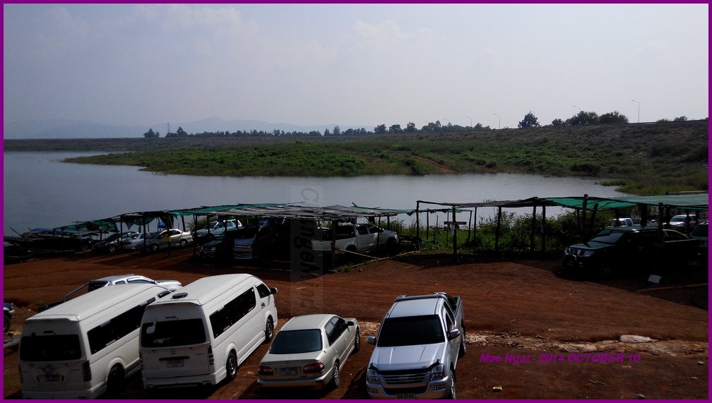
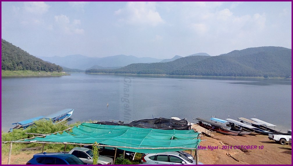
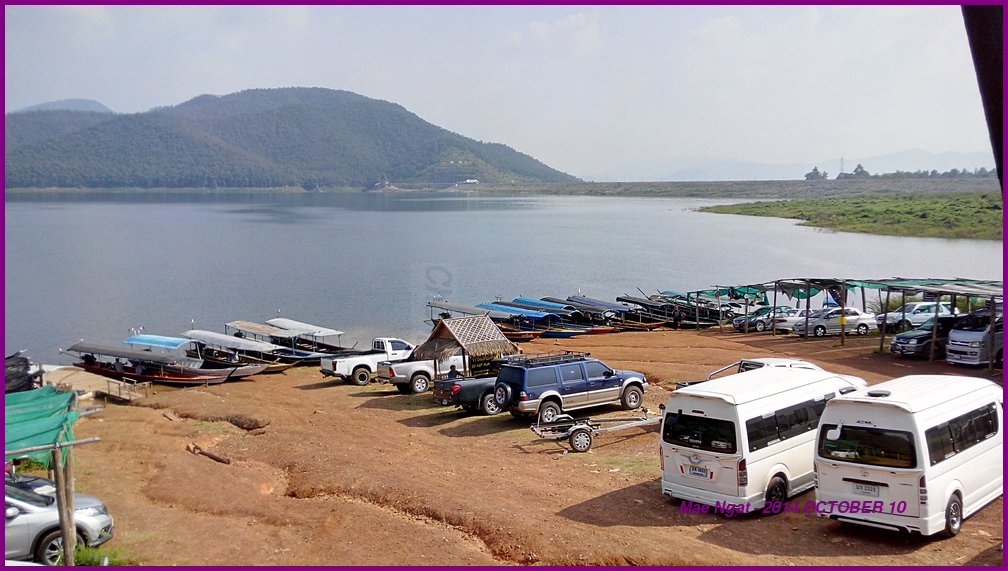
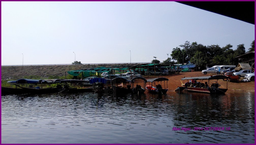
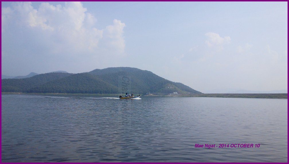
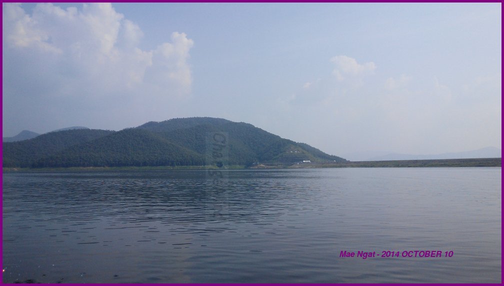
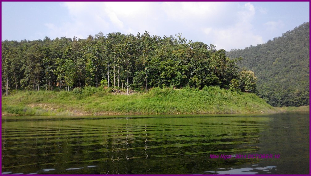
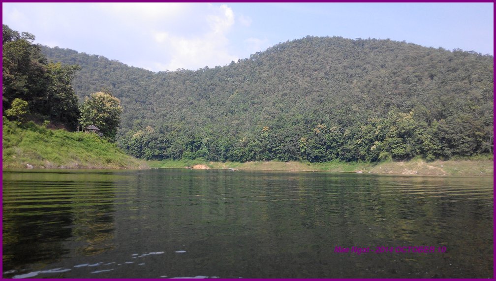
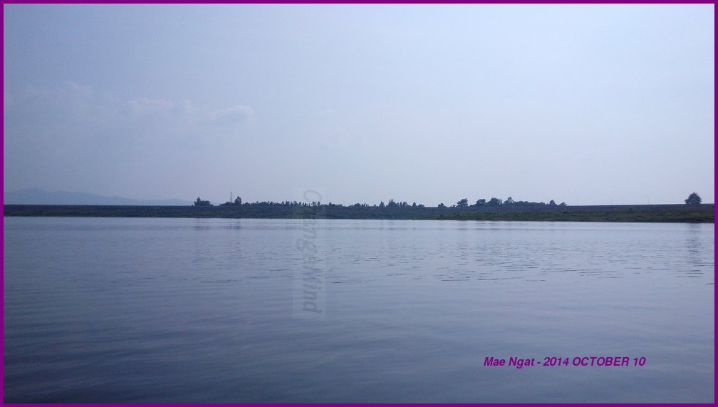
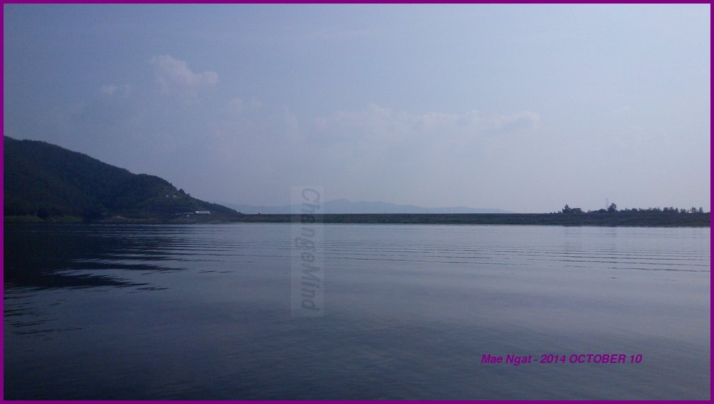
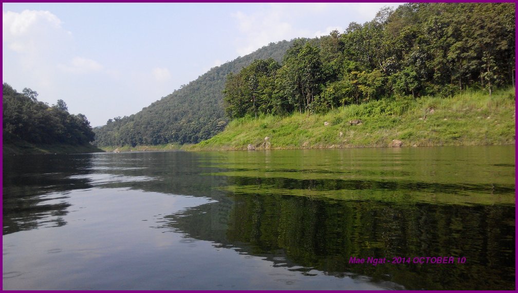
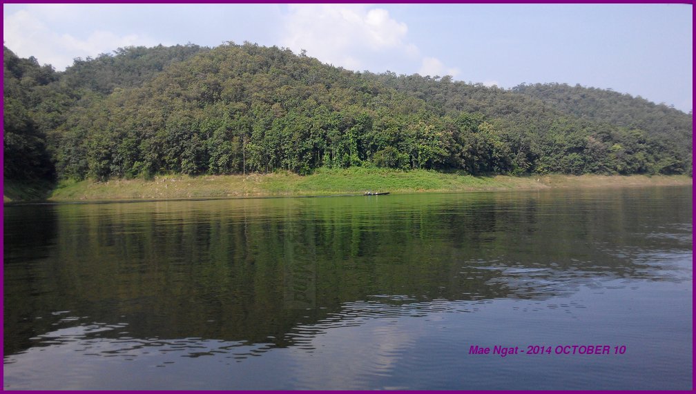
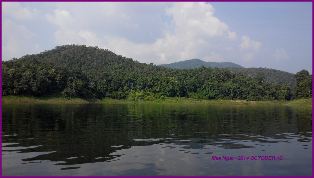
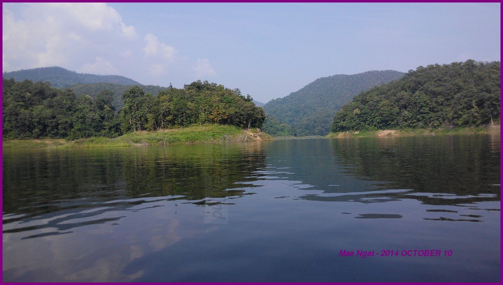
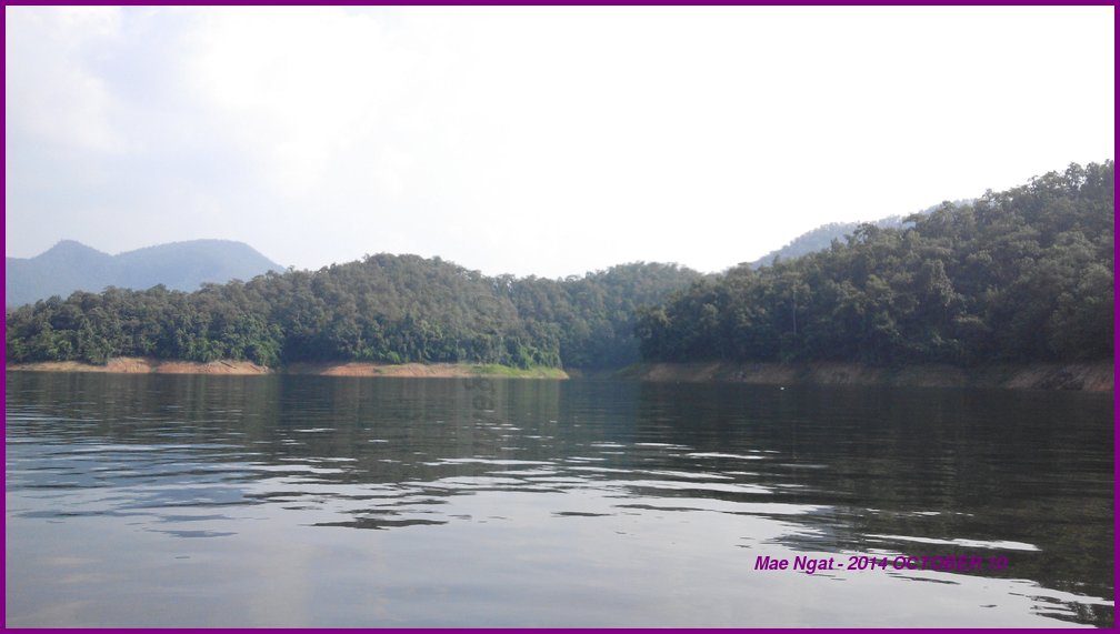
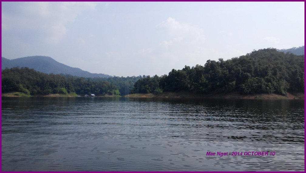
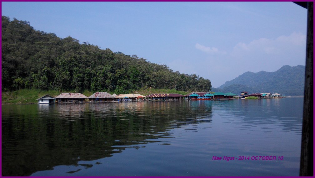
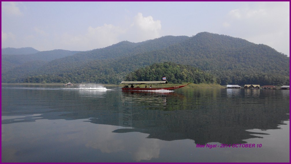
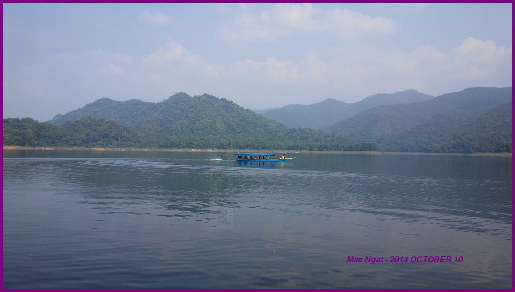
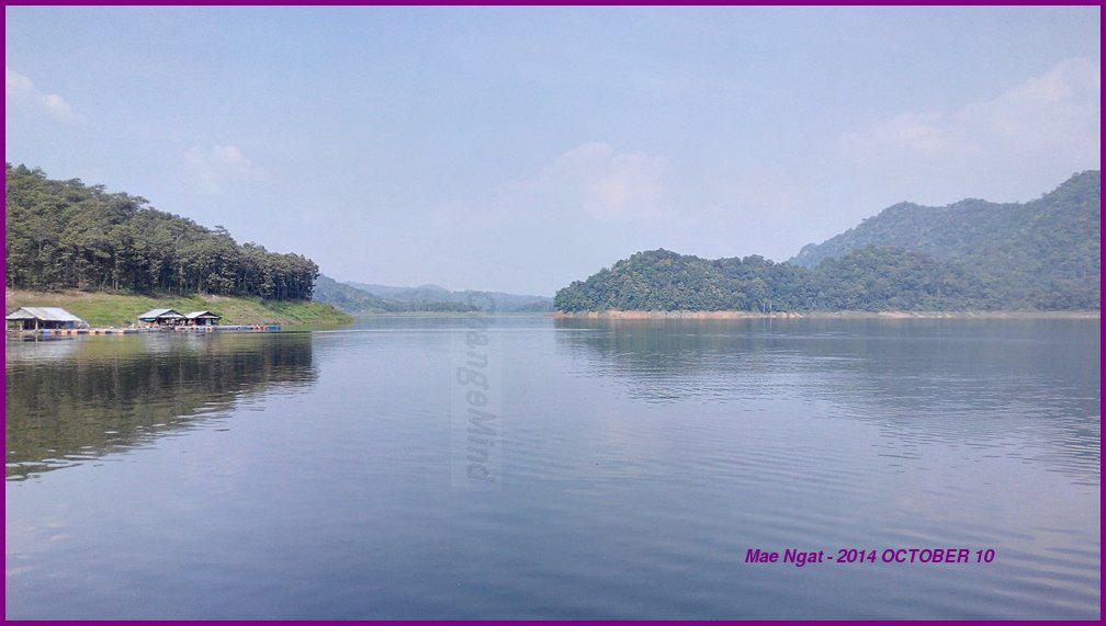
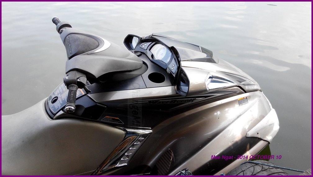
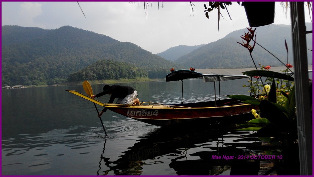
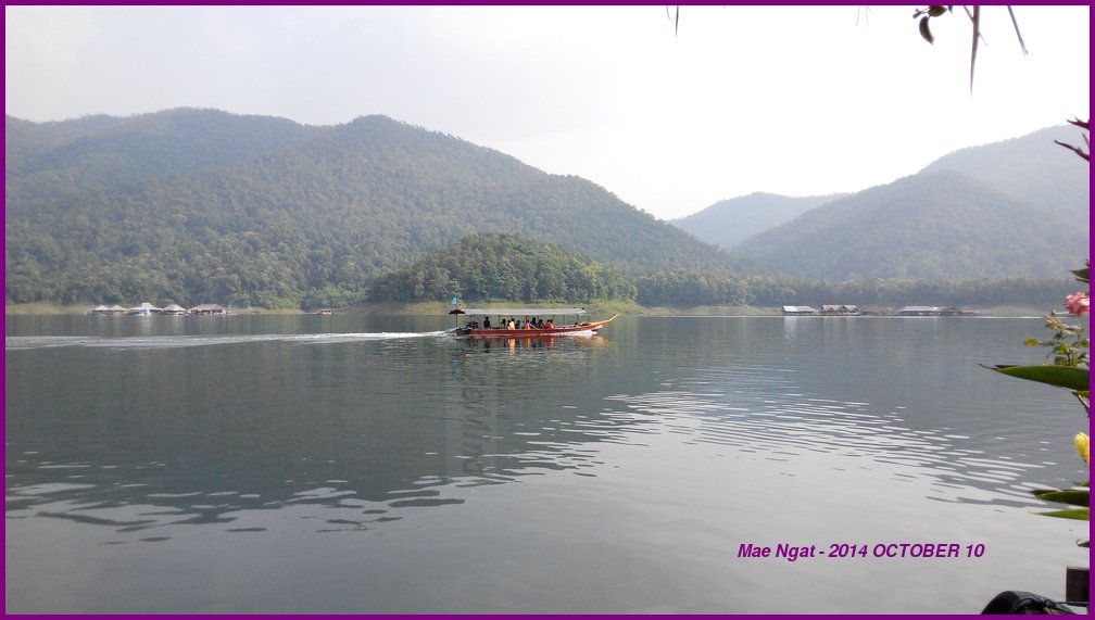
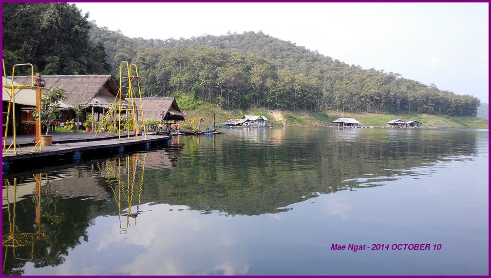
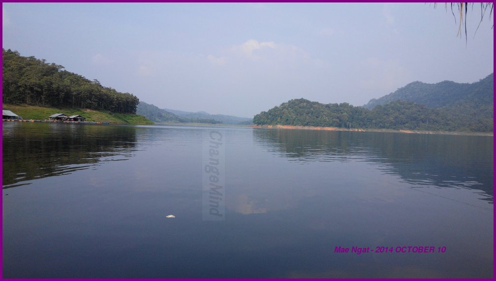
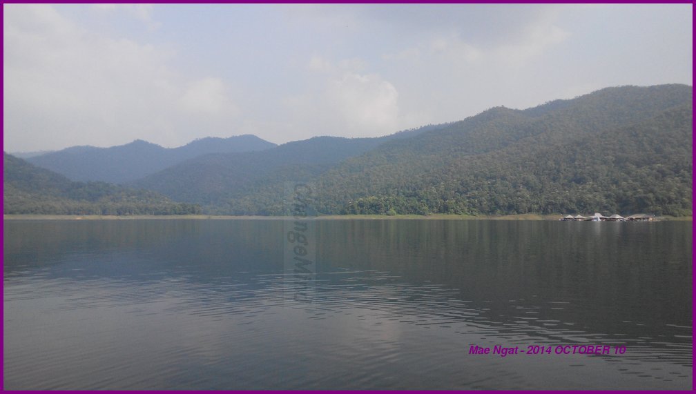
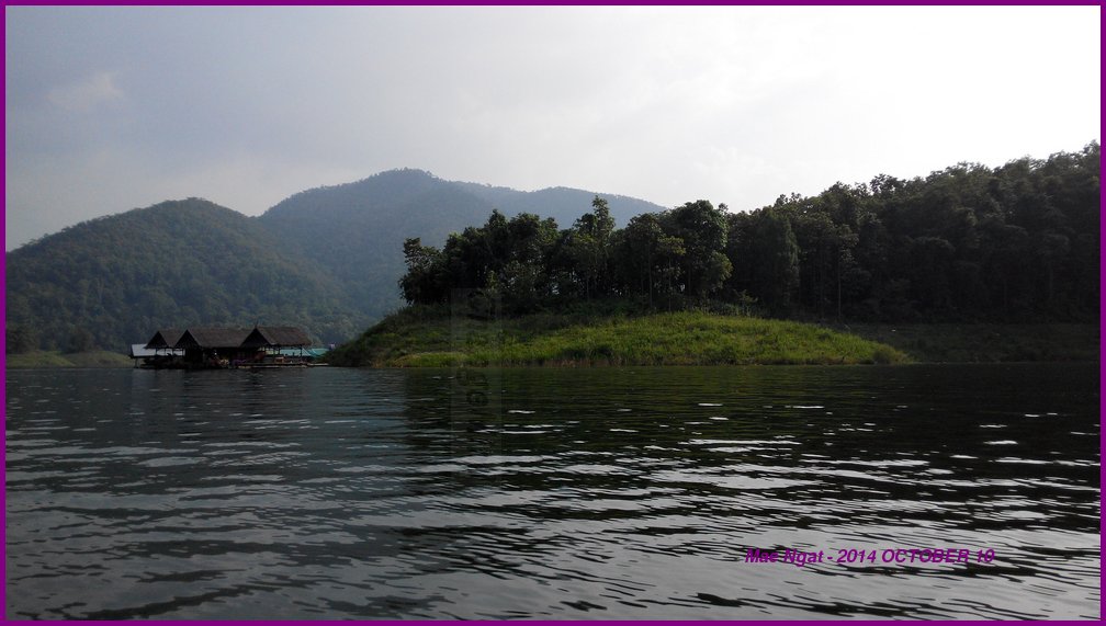
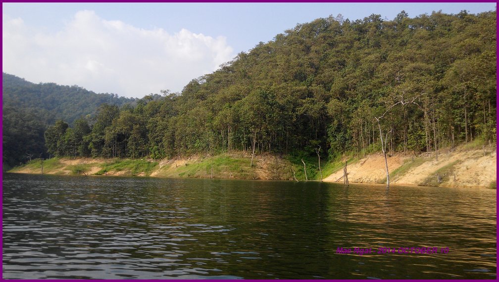
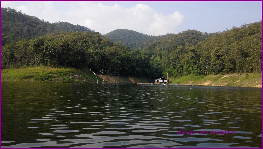
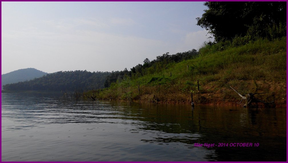
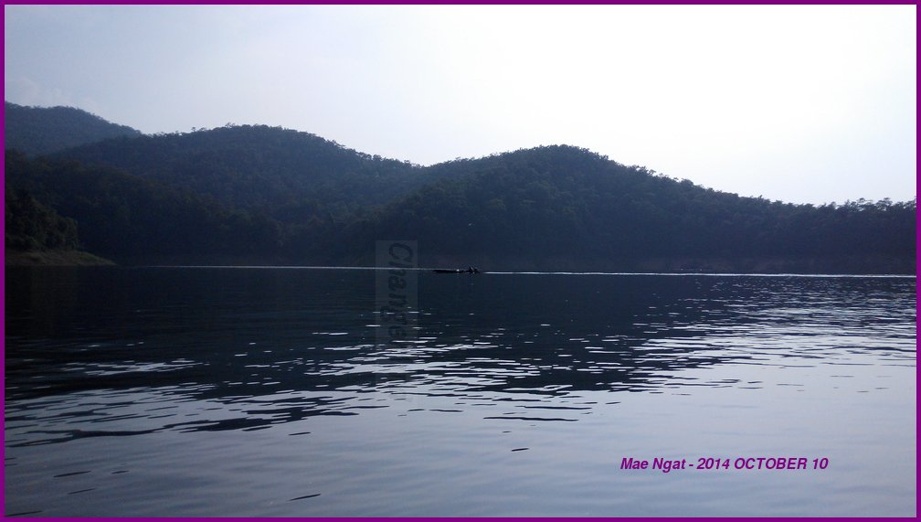
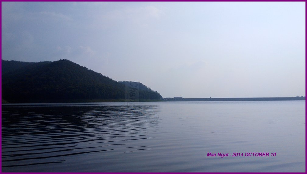
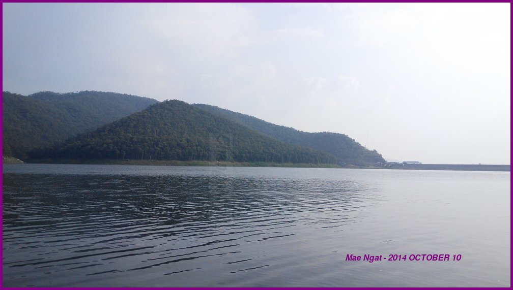
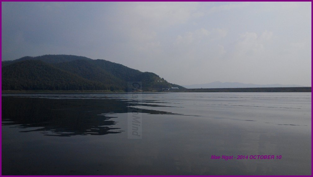
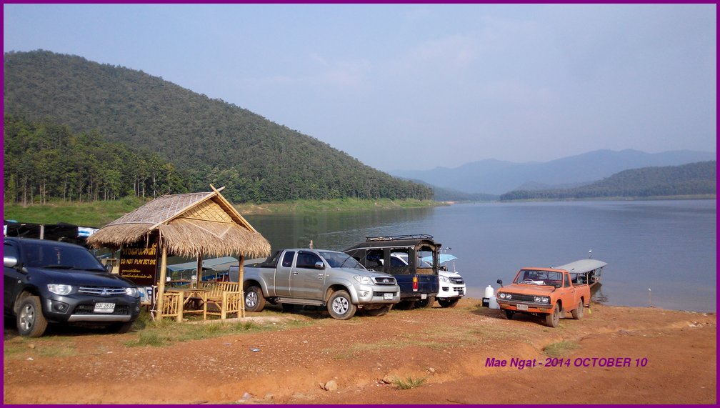
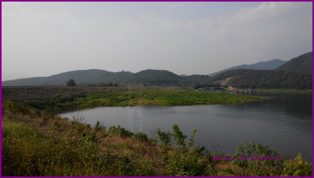
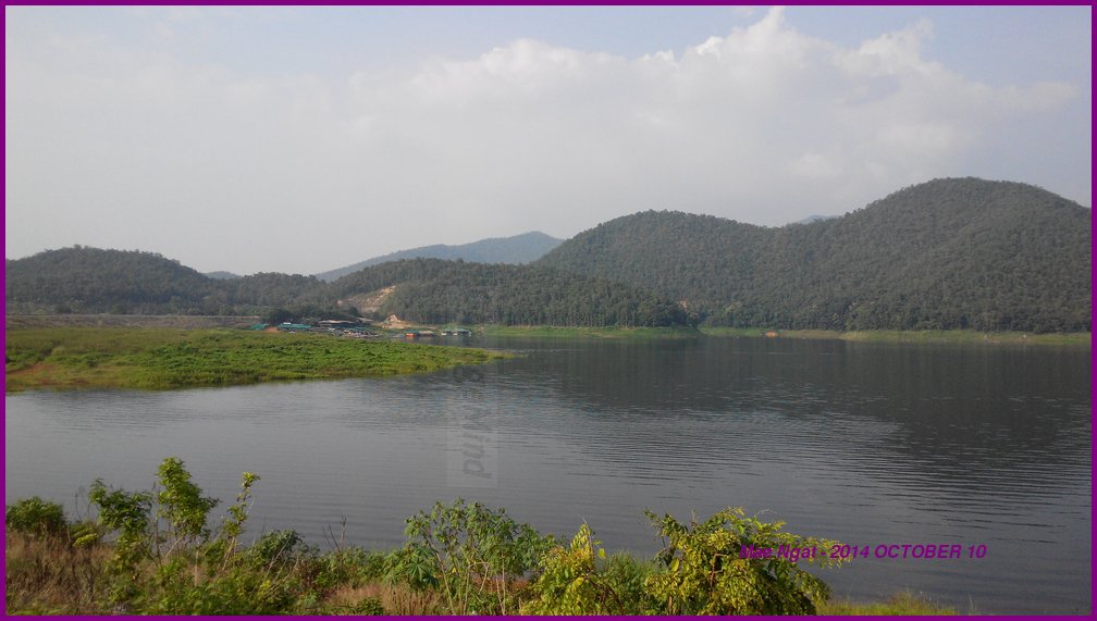
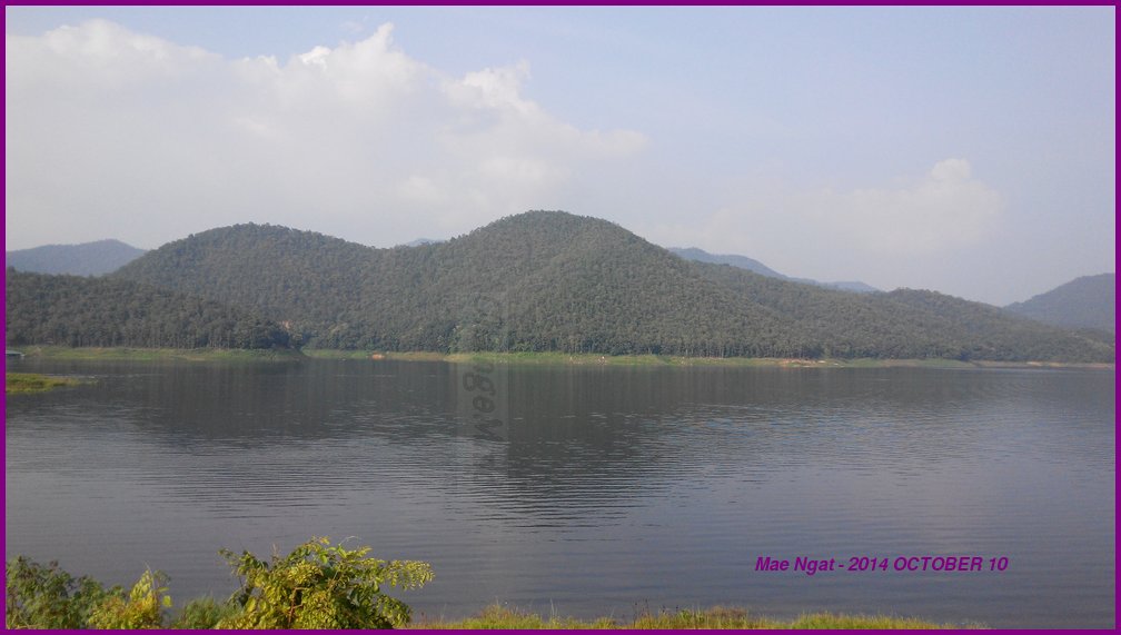
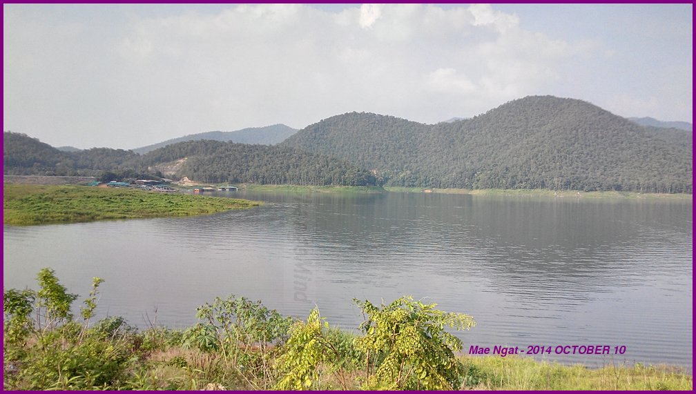
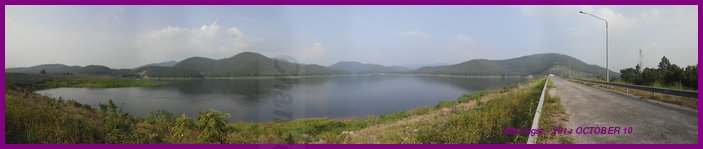
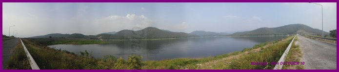
Mae Ngat is a dam at a lake in Chiang Mai. It is near Mae Taeng. Knowing that 107 is a more direct path to Mae Ngat, I took highway 1001 because of the construction on 107 near Mae Rim.
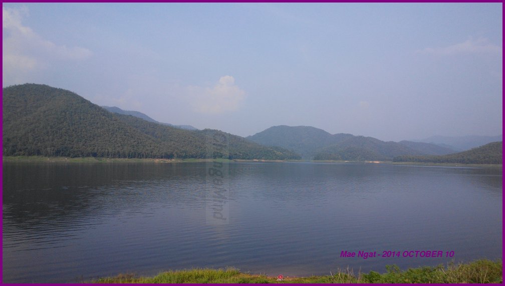
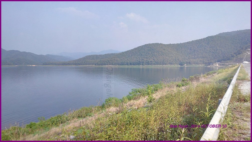
Go straight on 1001 until at the mountains, and take 1323 leads you back to 107 and then on to Mae Ngat.
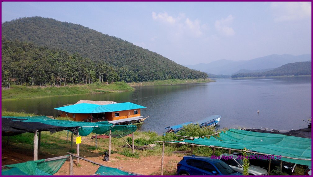
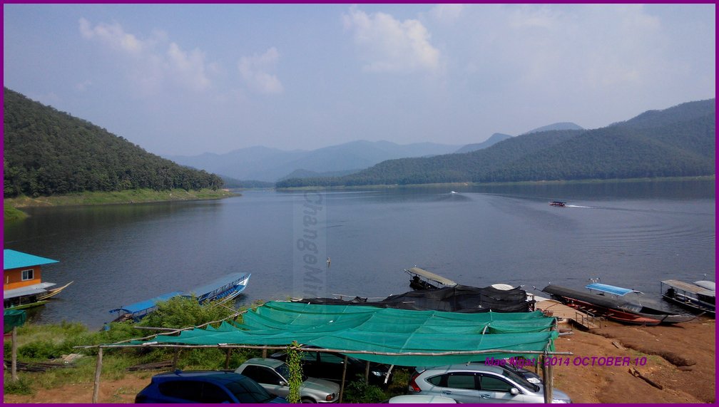
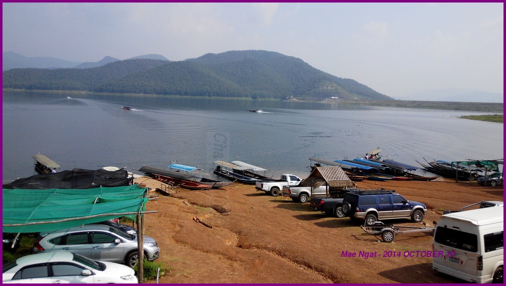
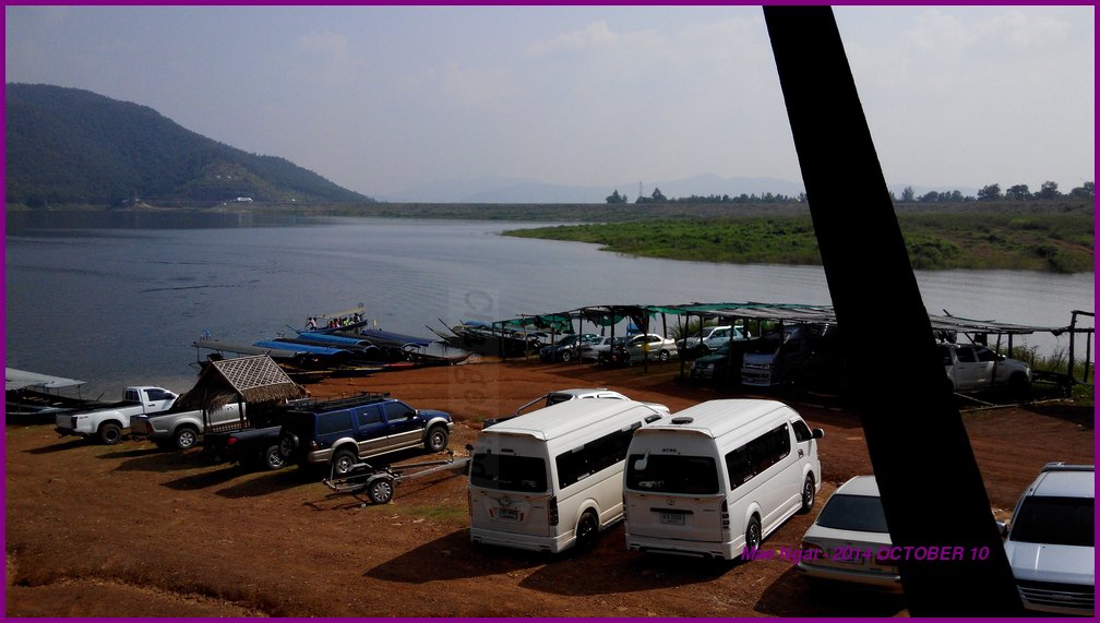
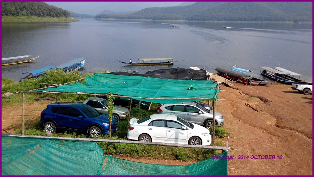
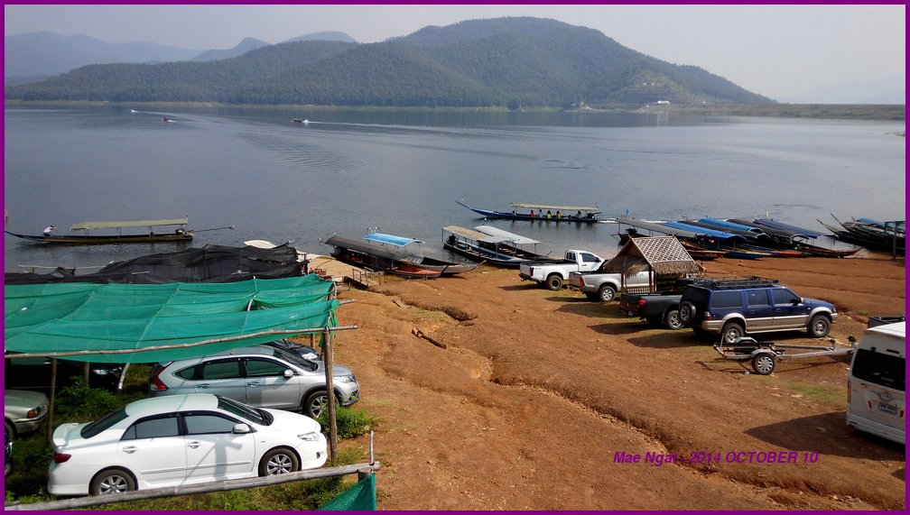
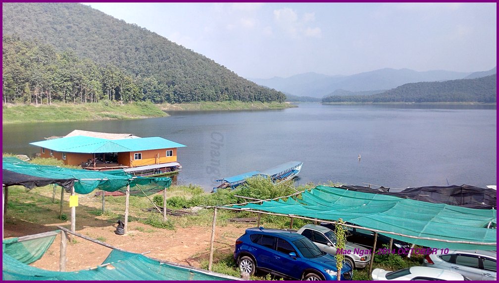
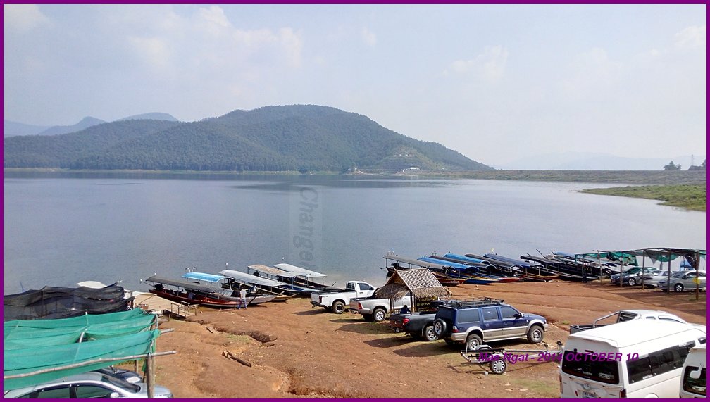
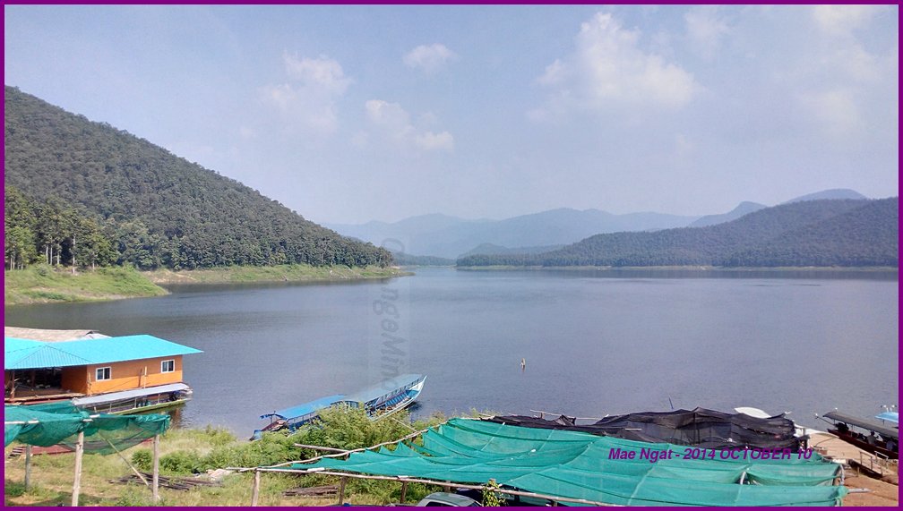
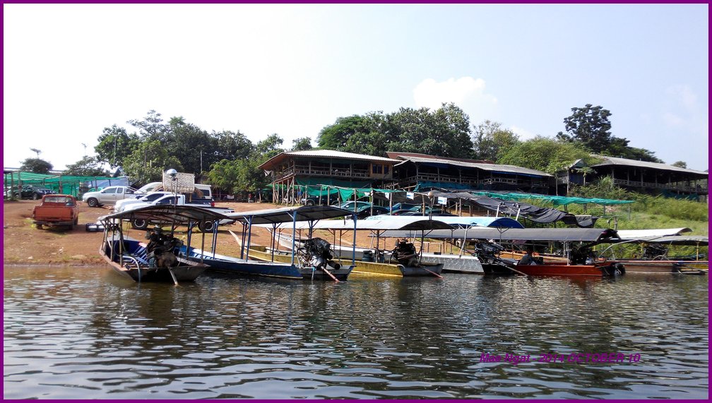
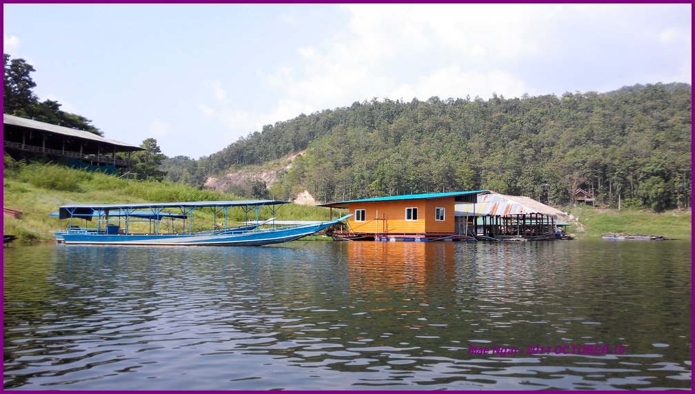
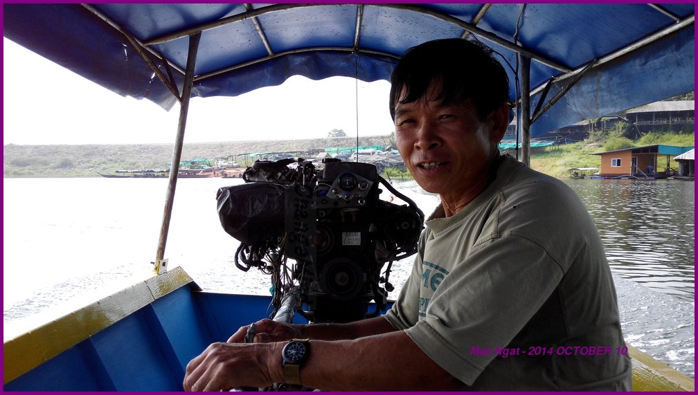
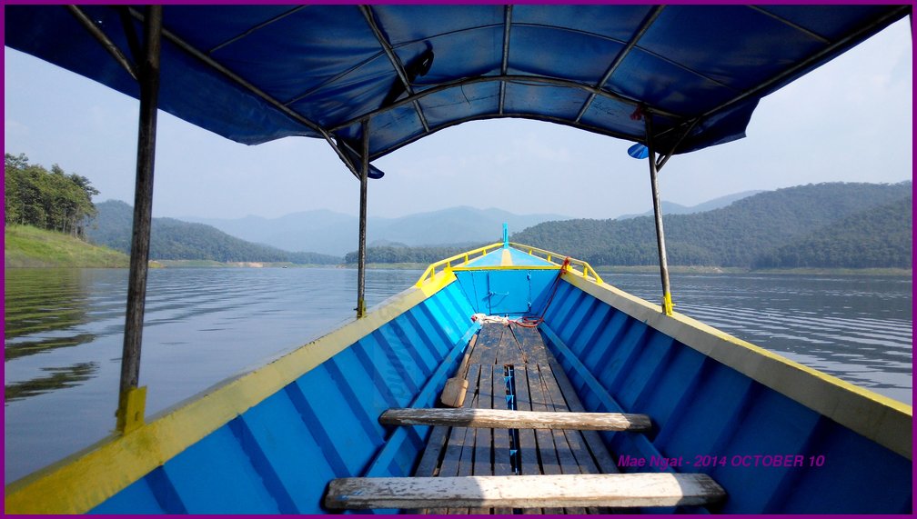
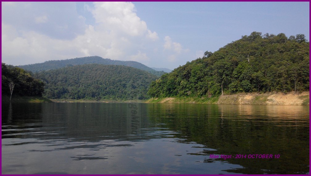
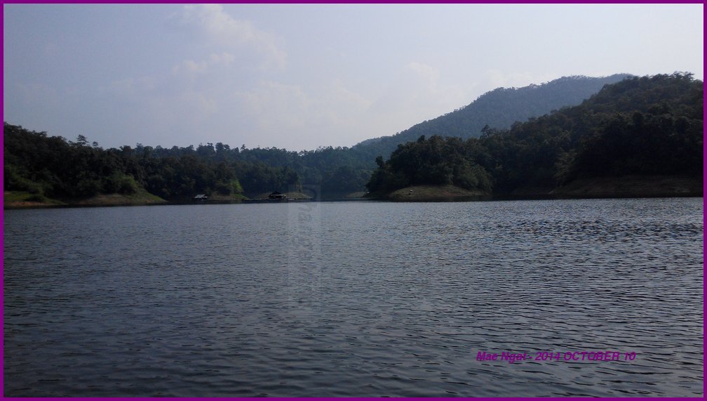
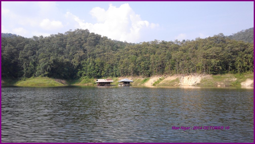
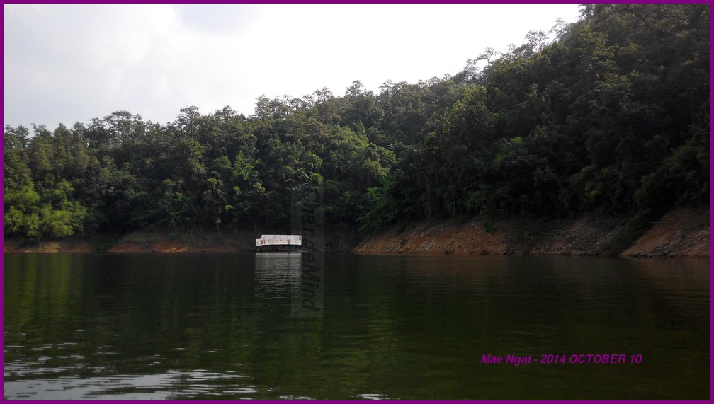
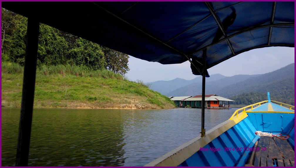
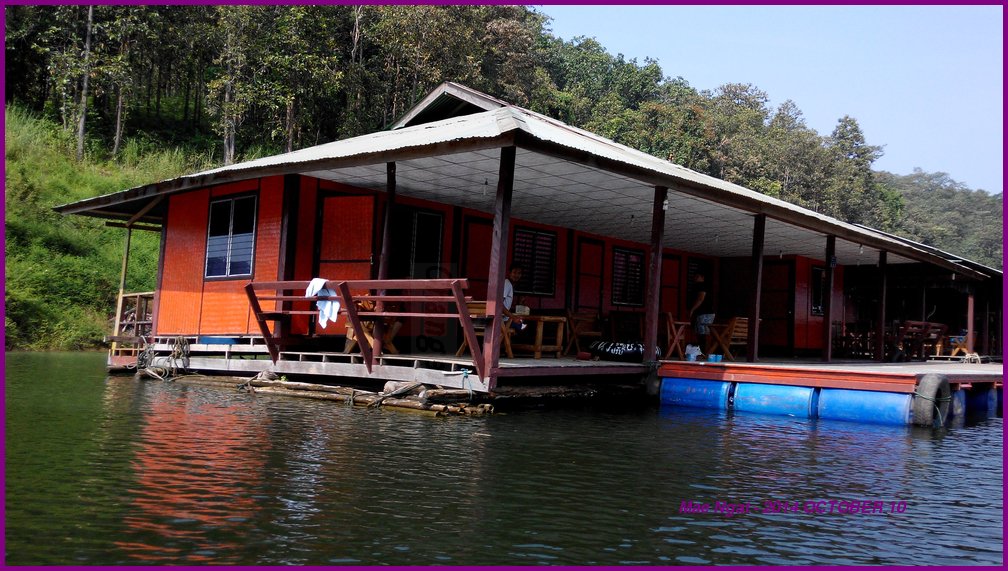
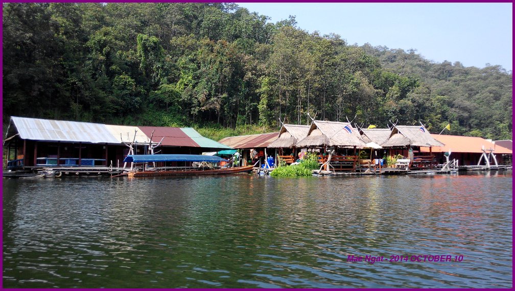
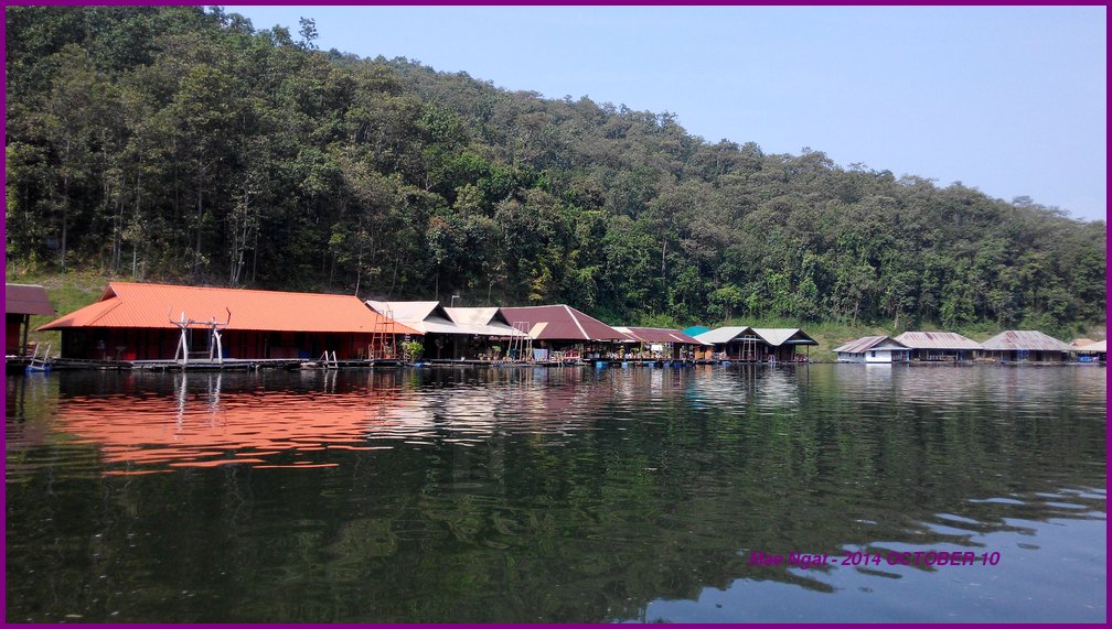
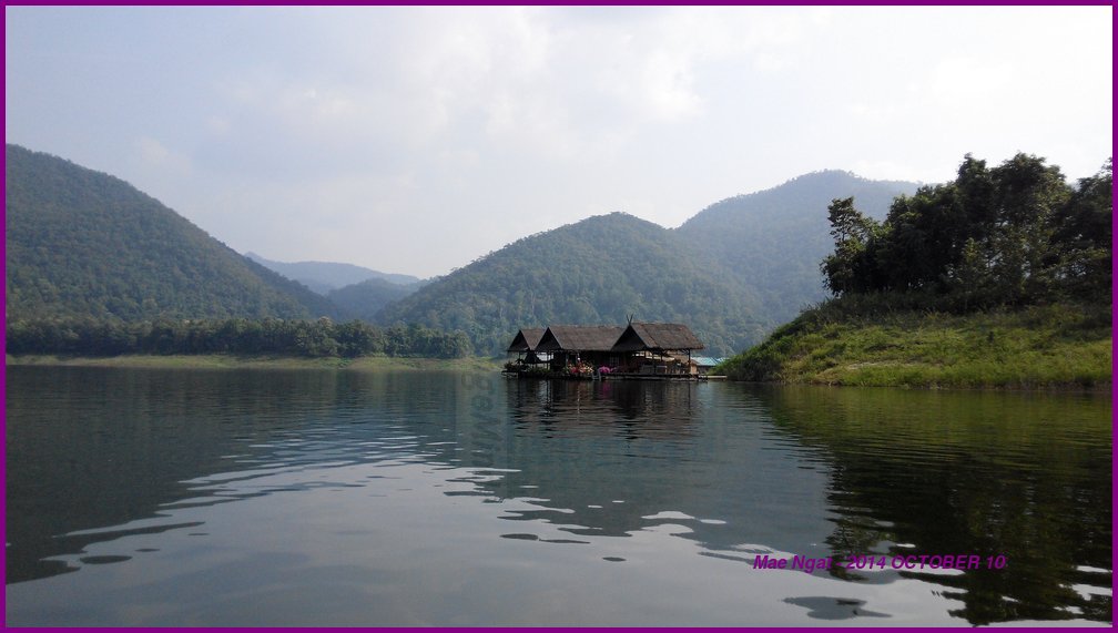
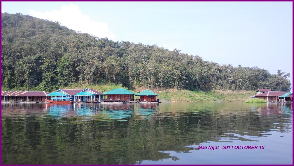
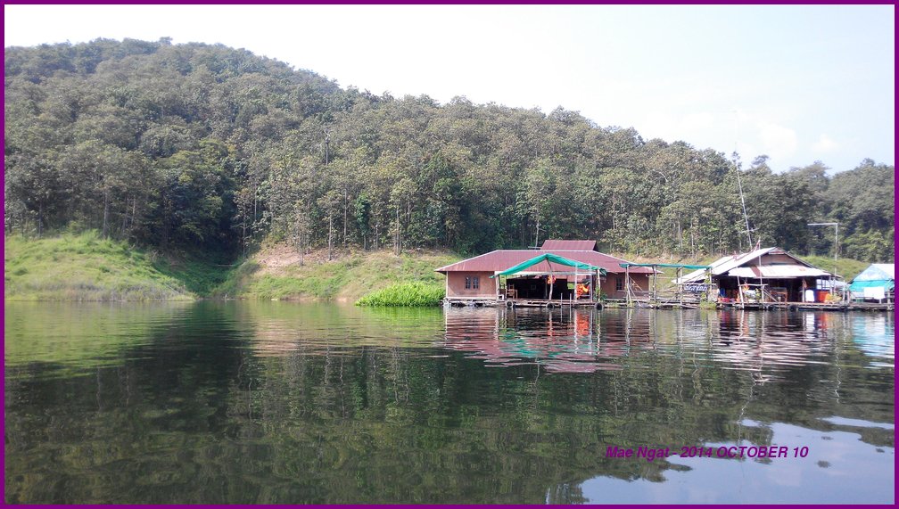
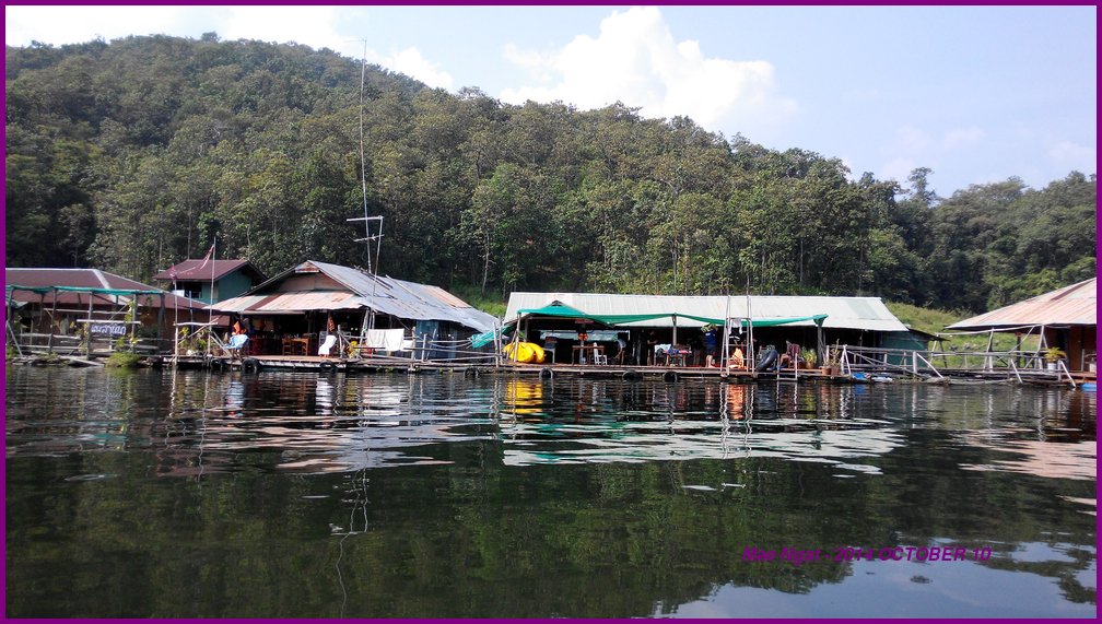
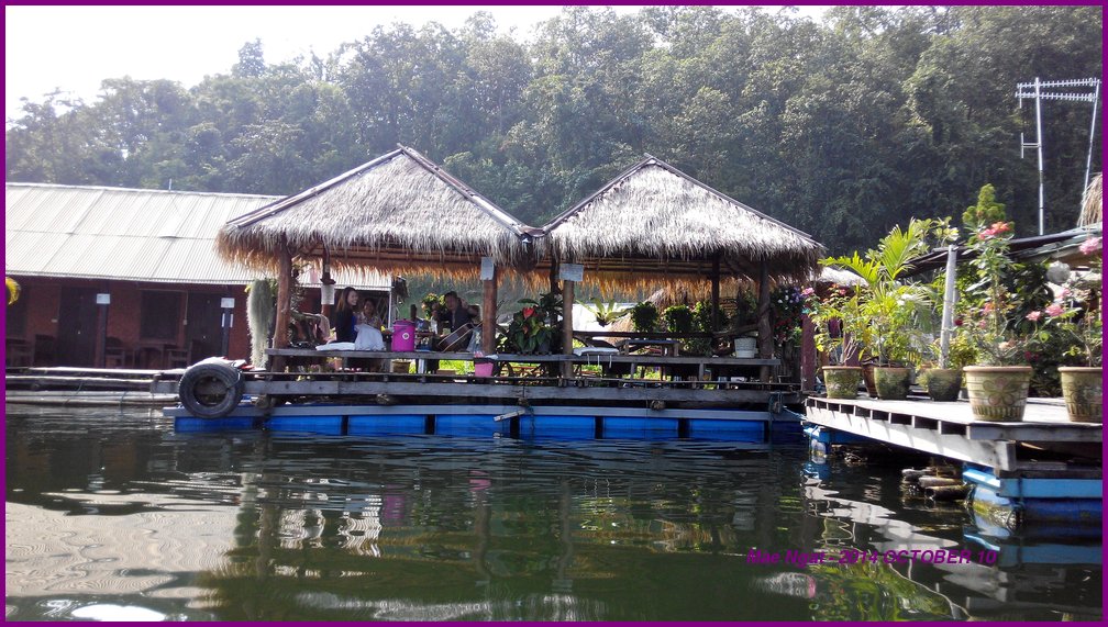
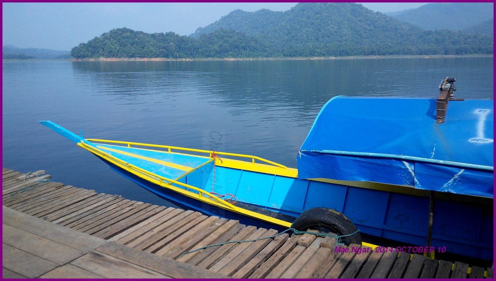
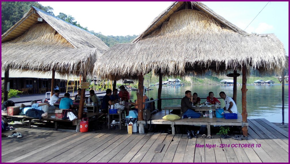
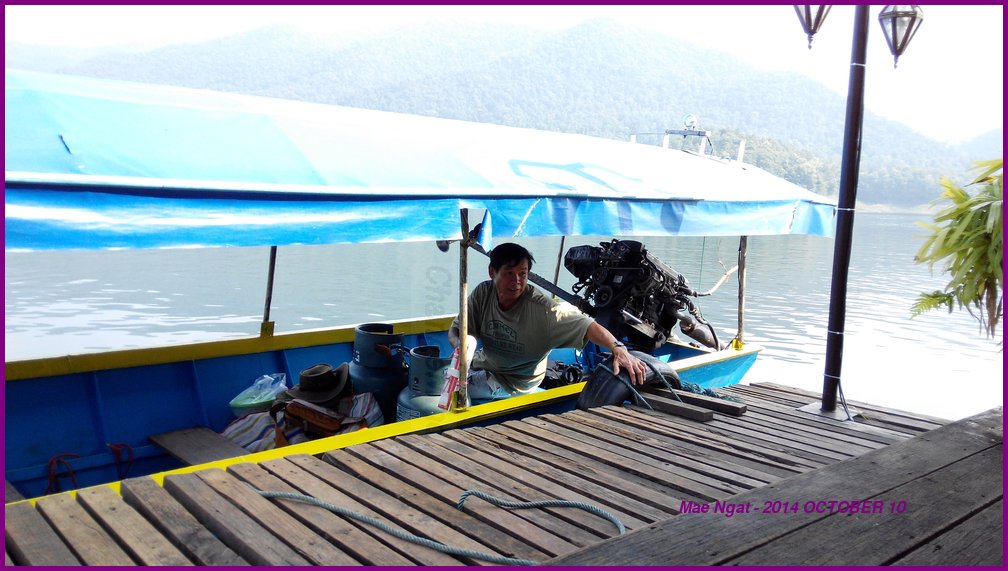
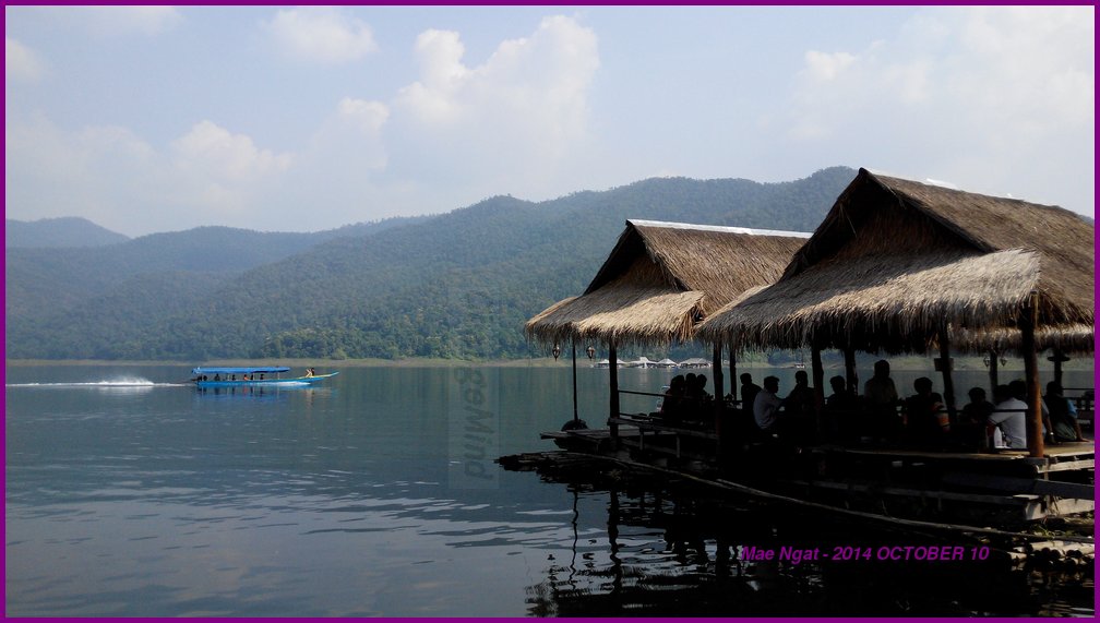
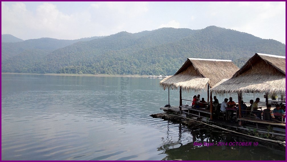
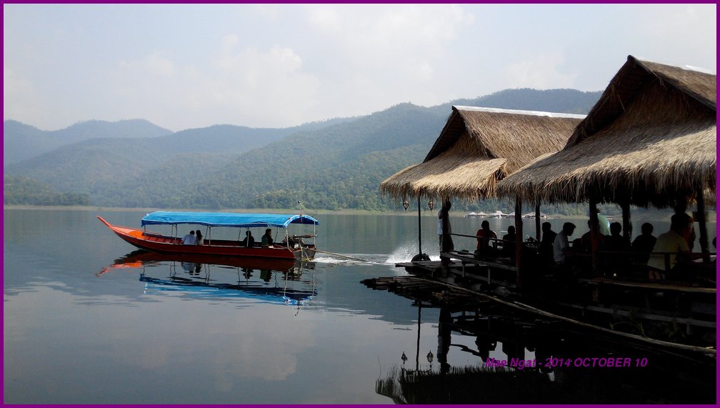
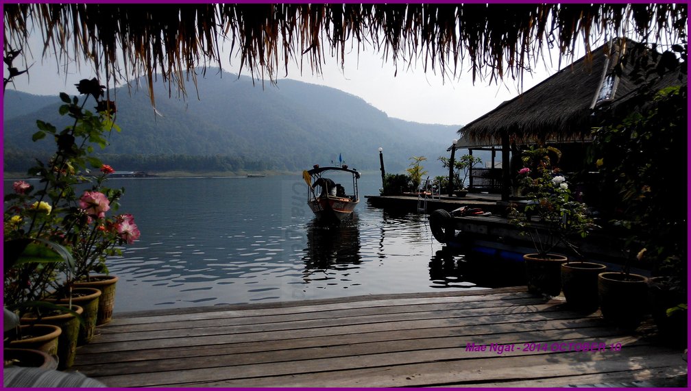
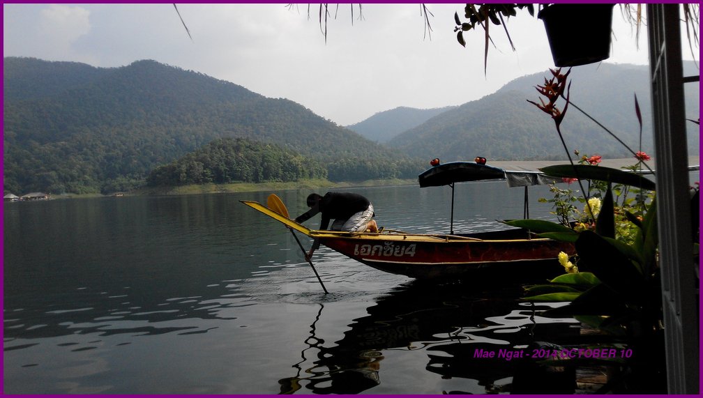
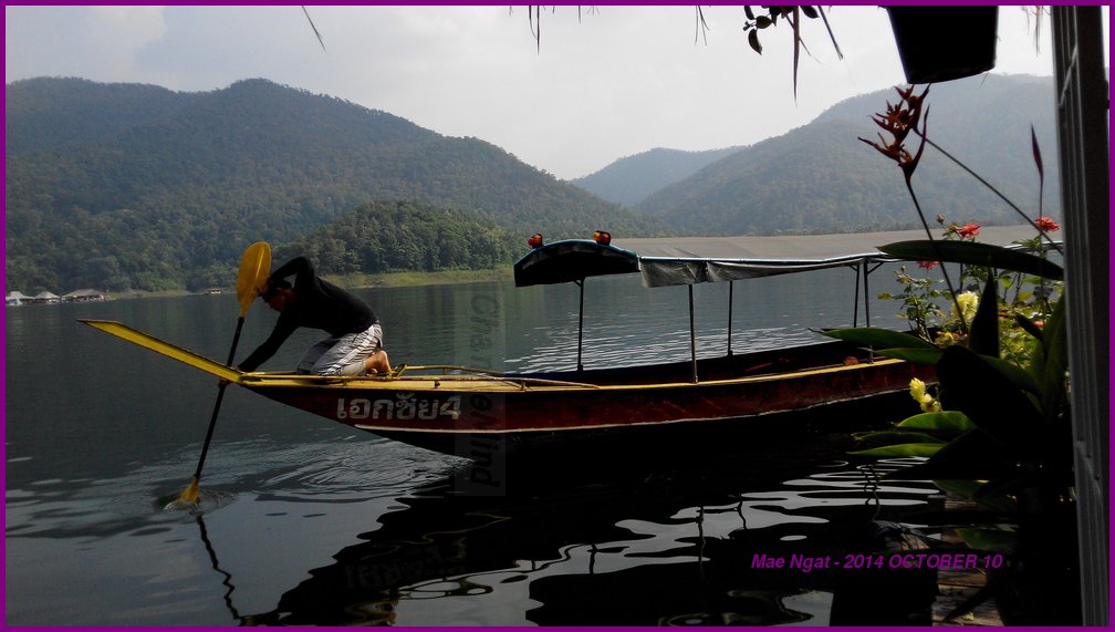
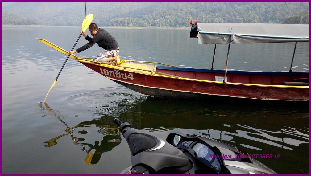
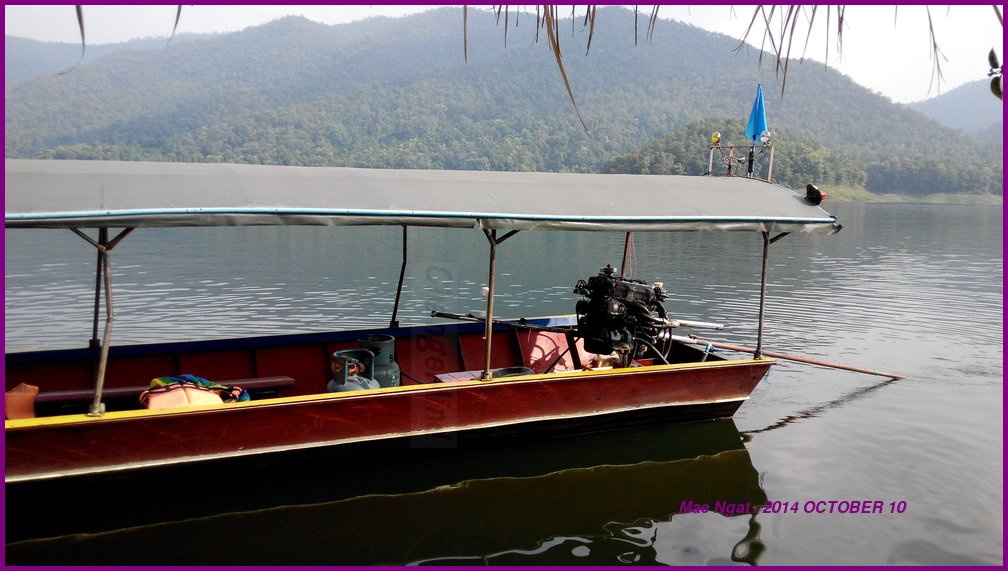
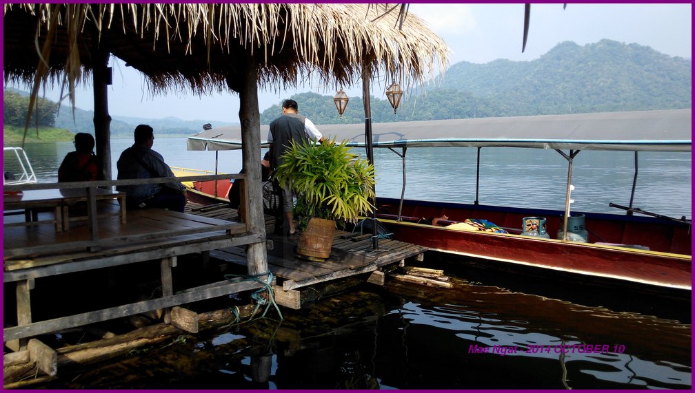
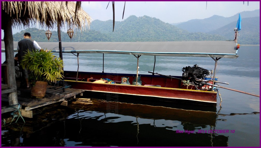
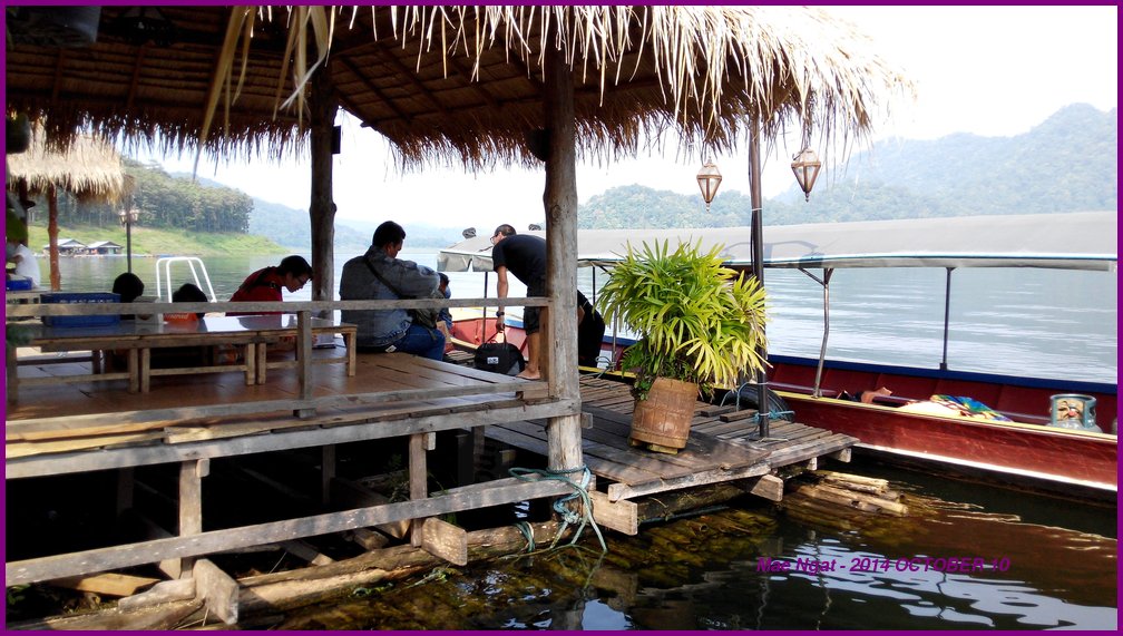
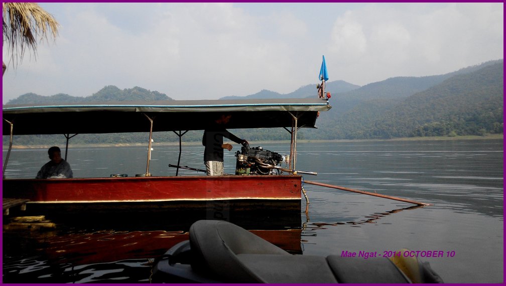
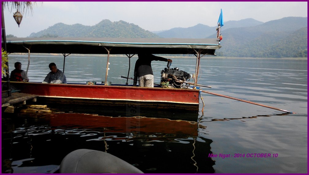
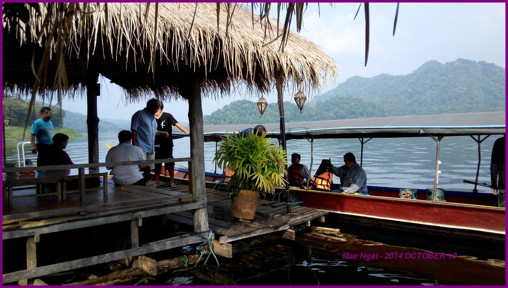
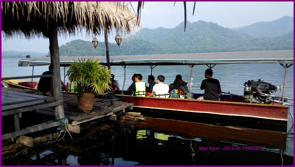
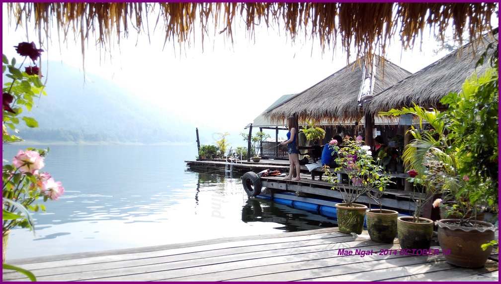
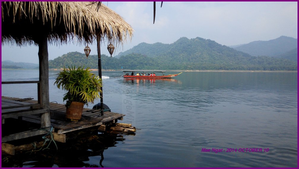
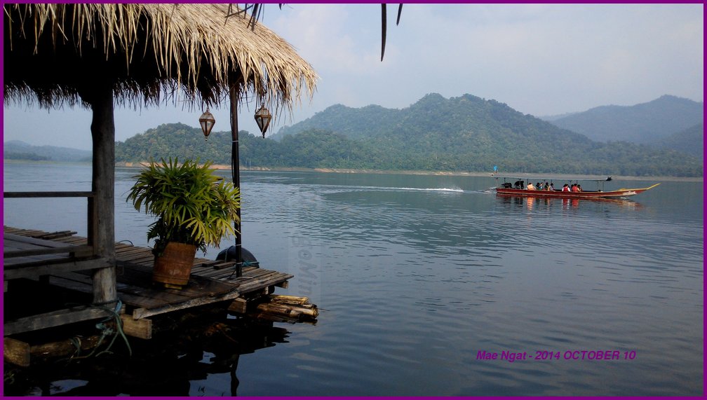
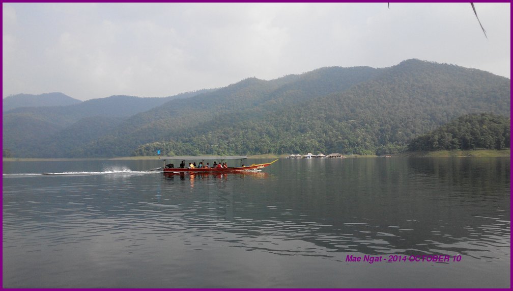
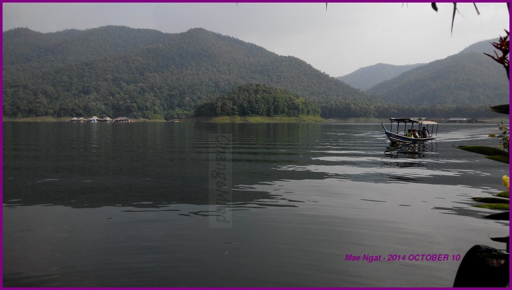
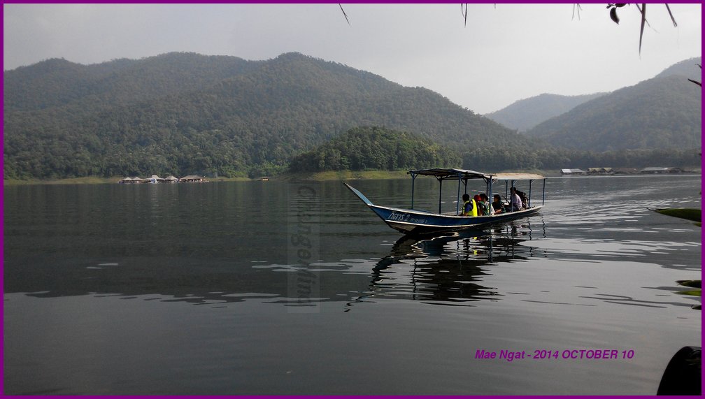
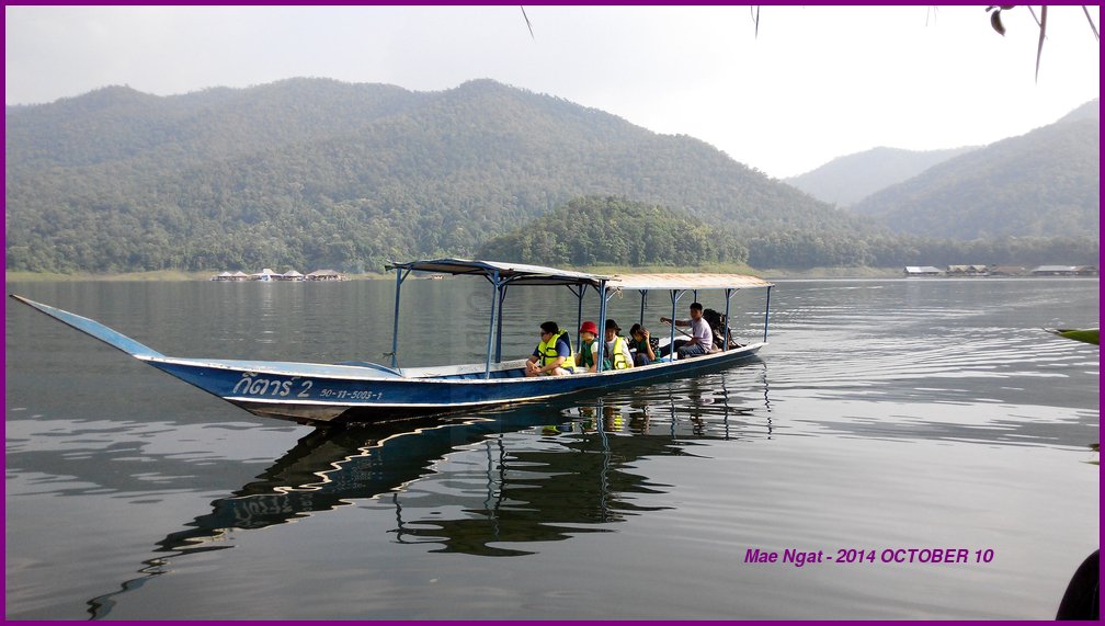
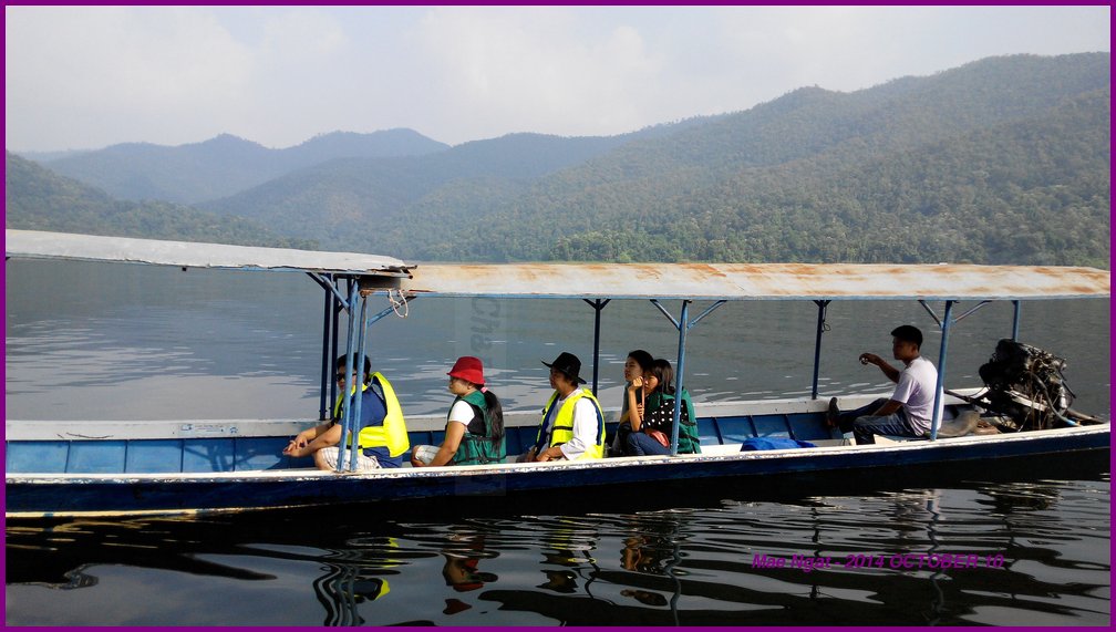
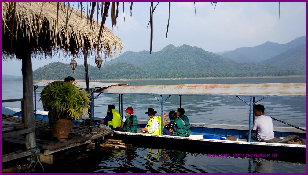
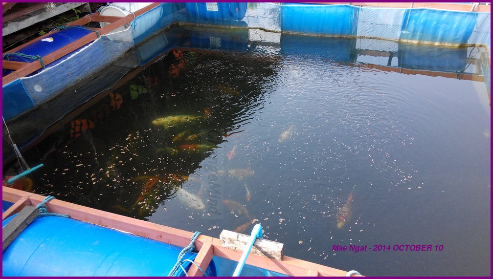
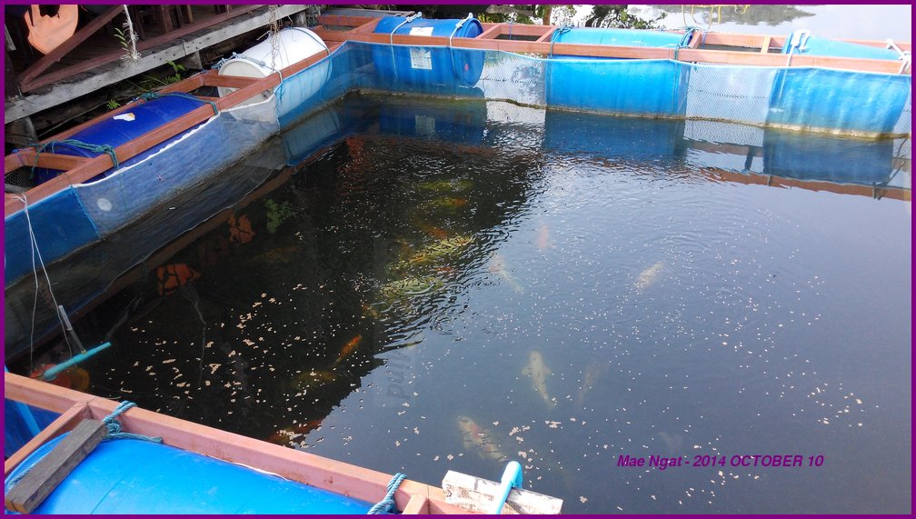
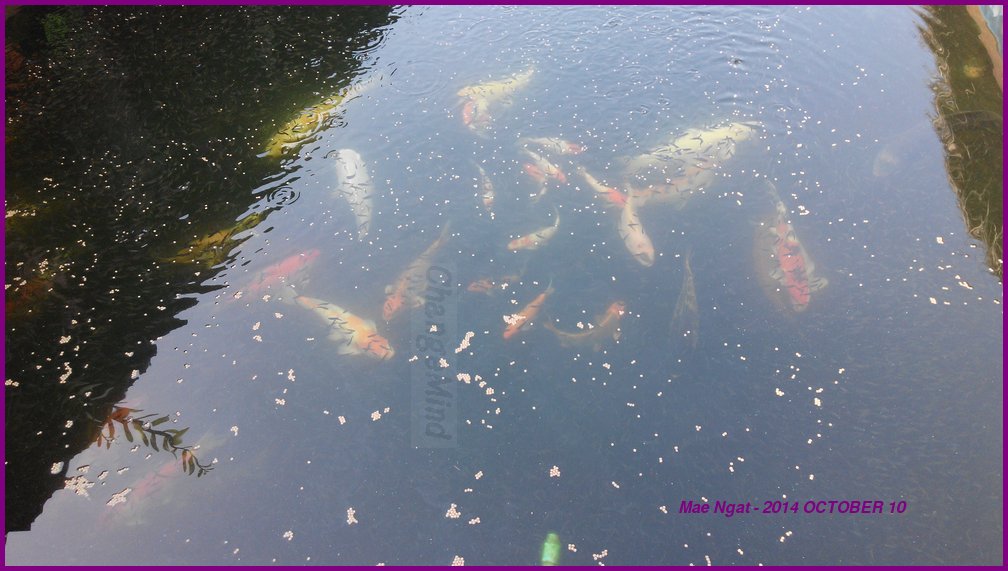
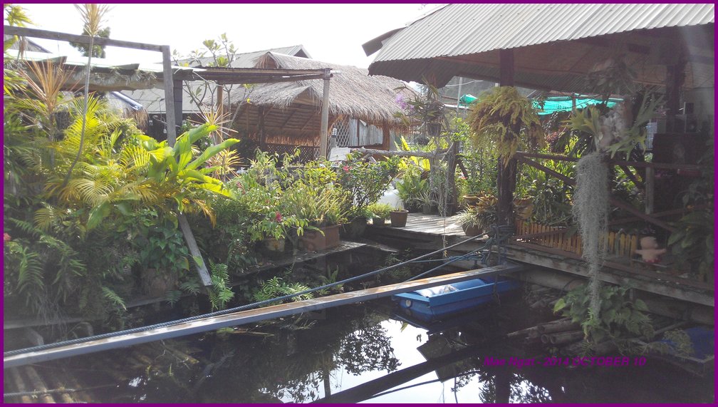
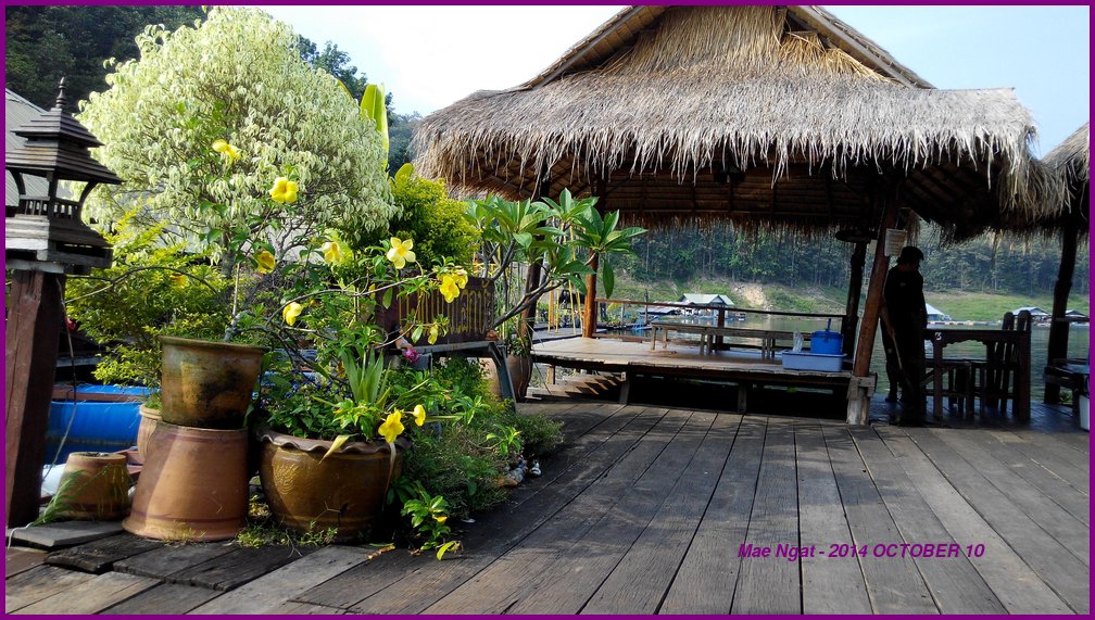
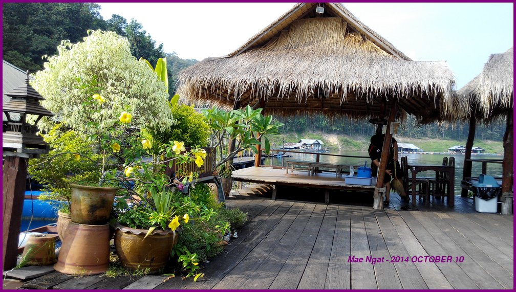
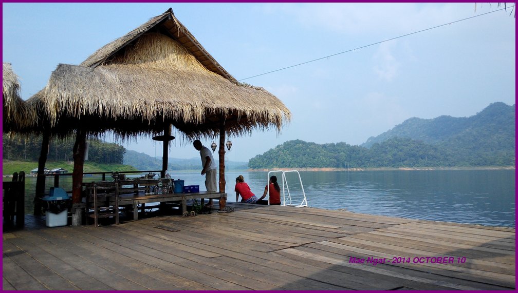
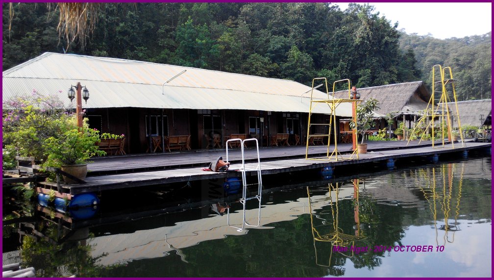
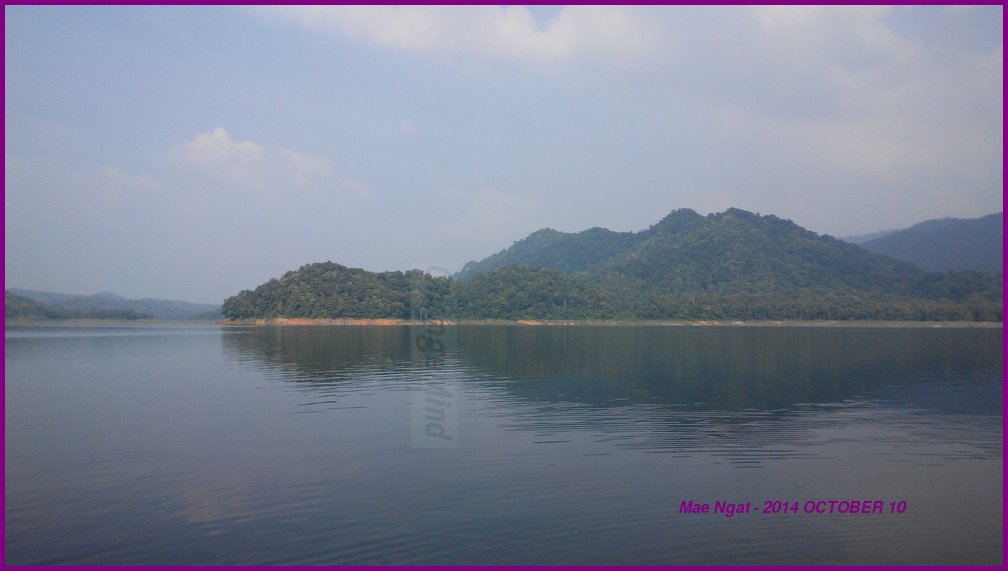
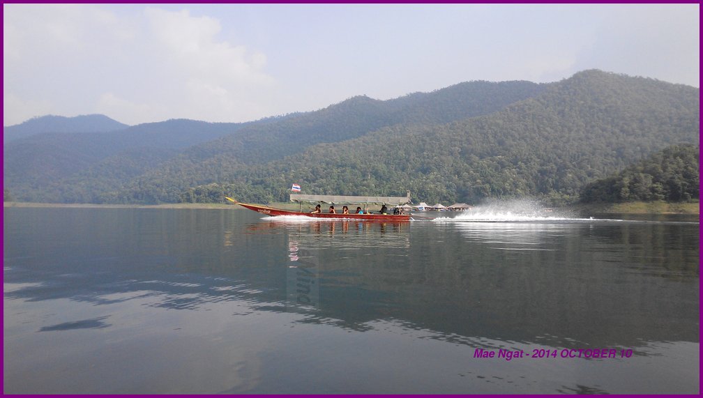
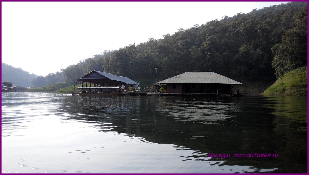
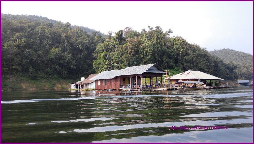
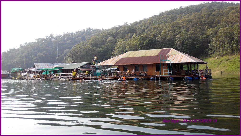
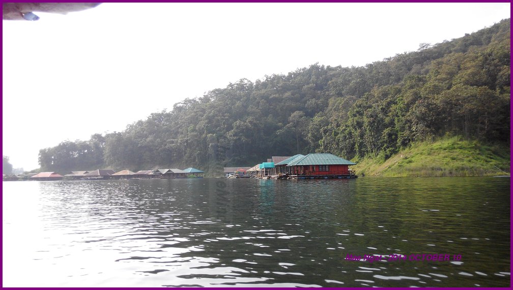
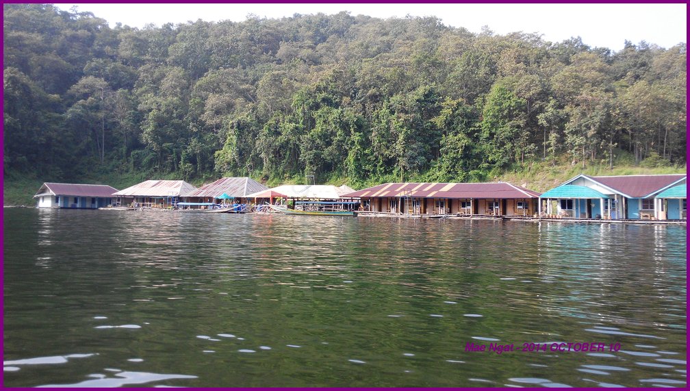
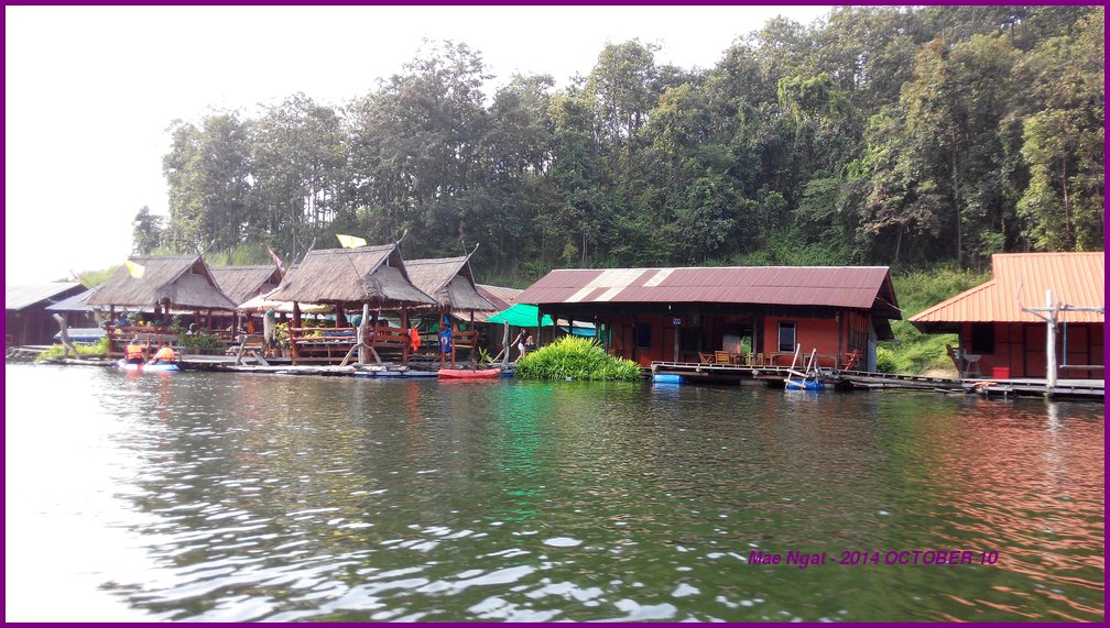
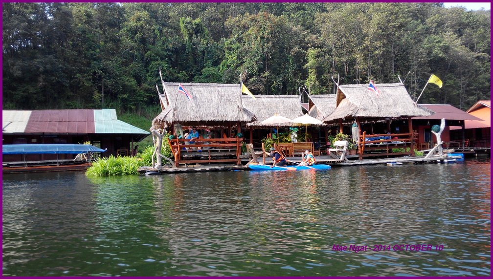
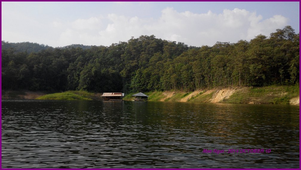
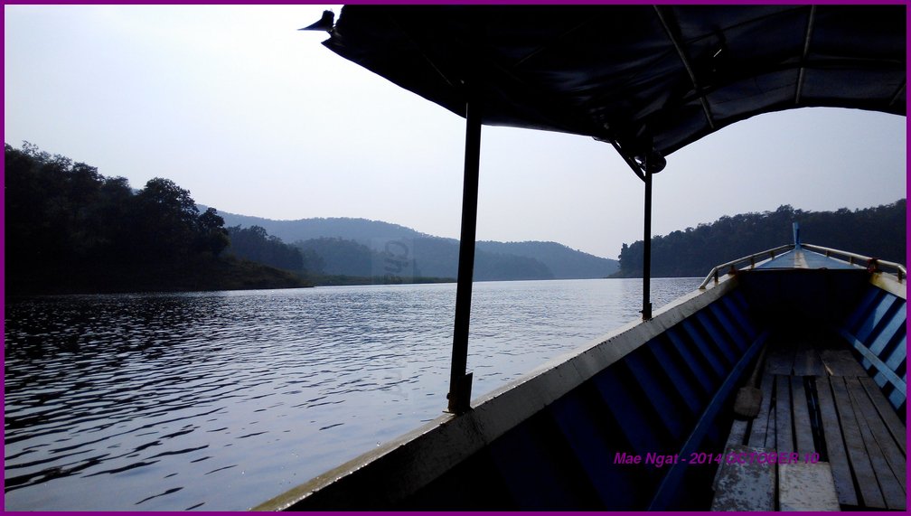
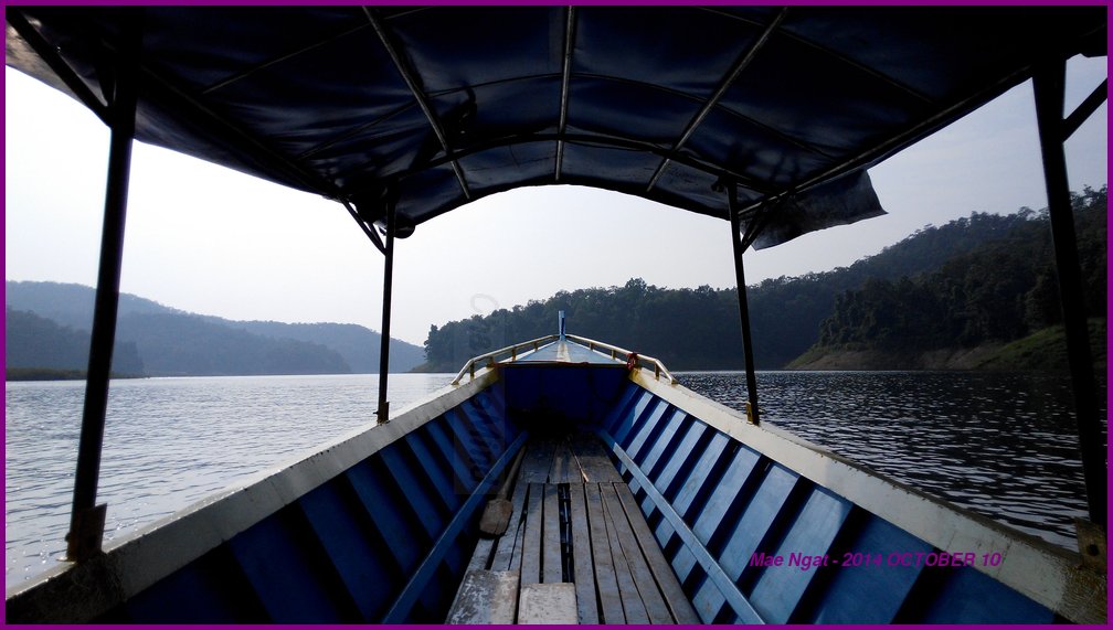
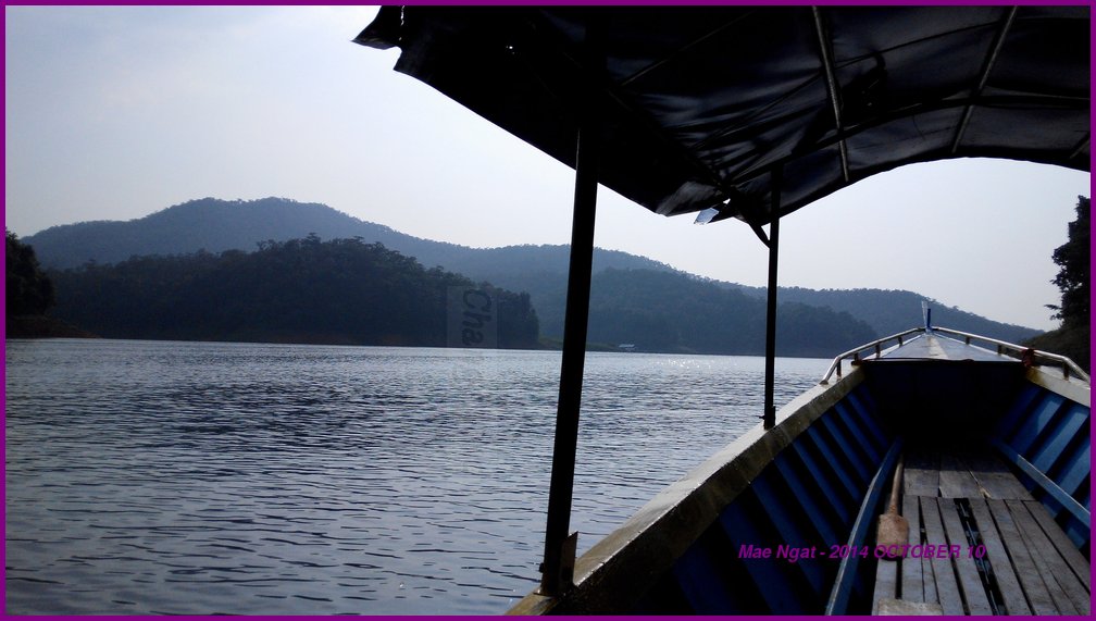
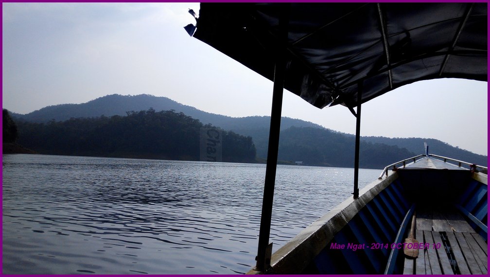
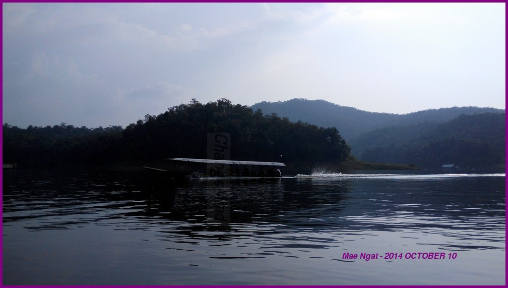
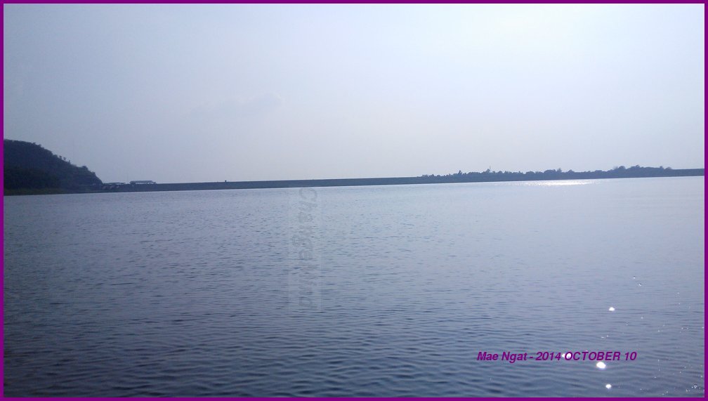
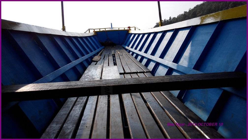
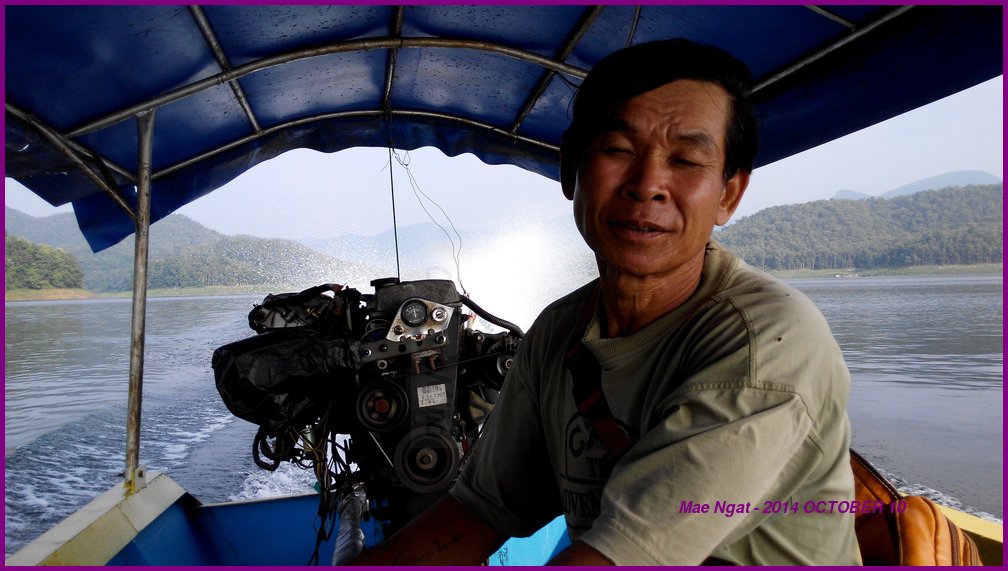
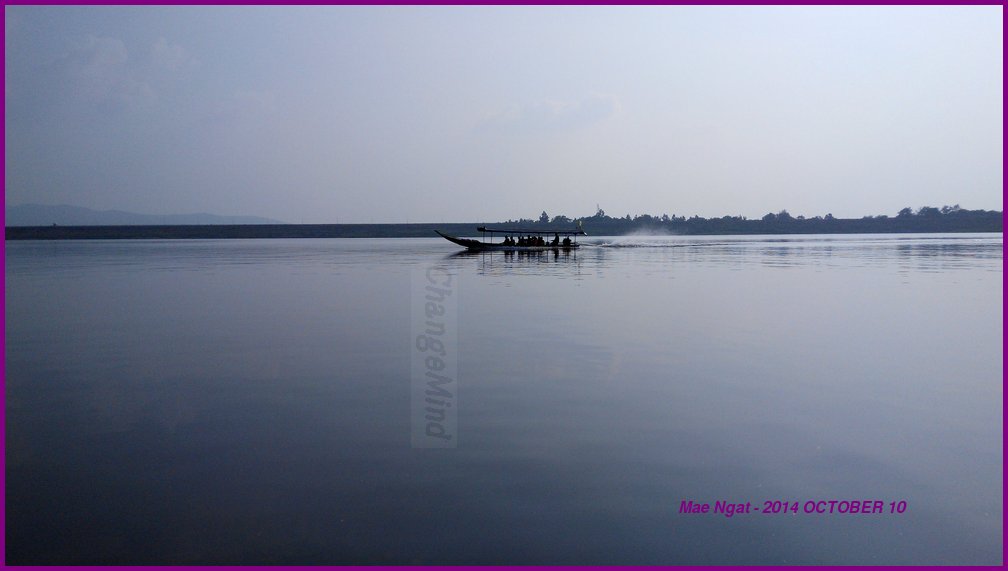
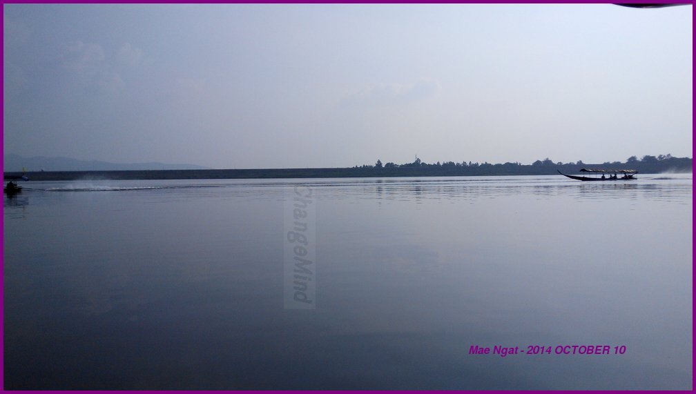
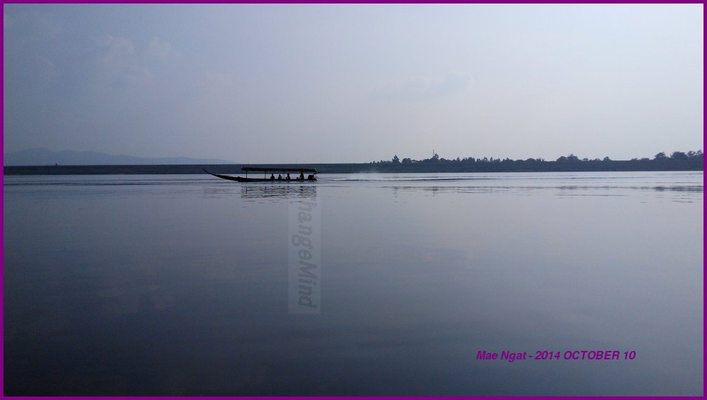
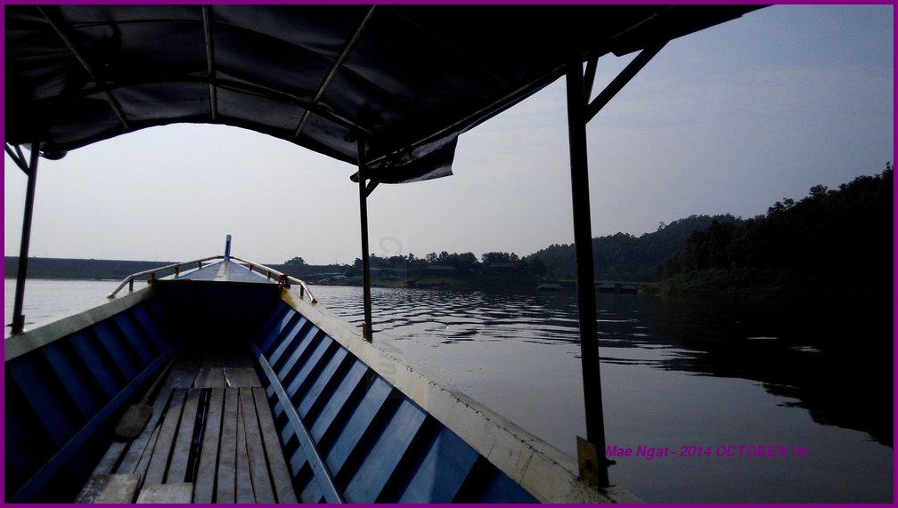
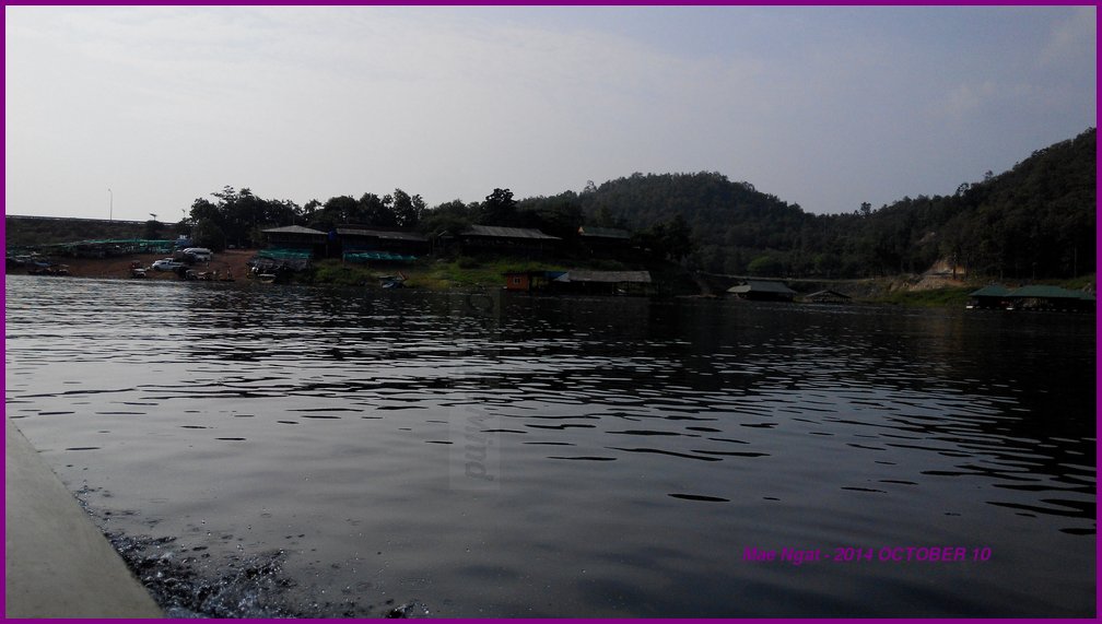
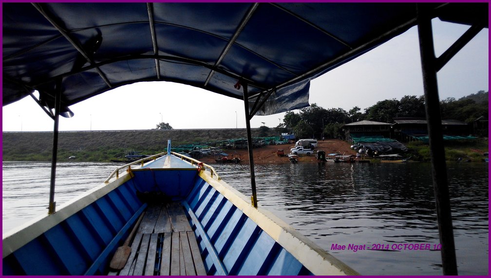
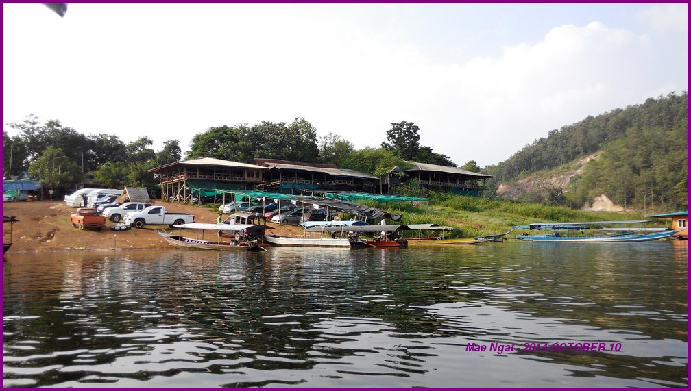
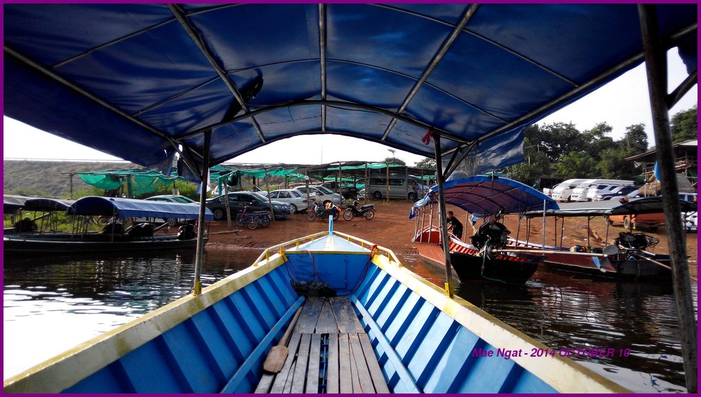
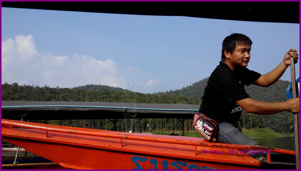
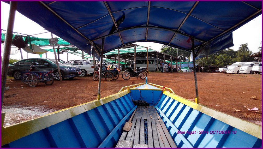
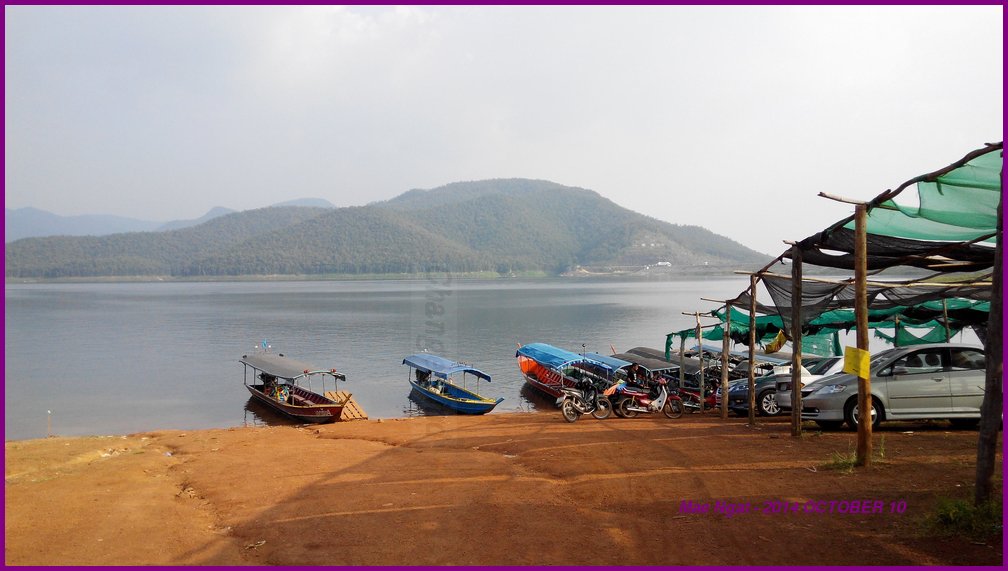
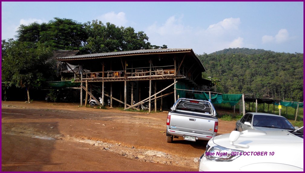
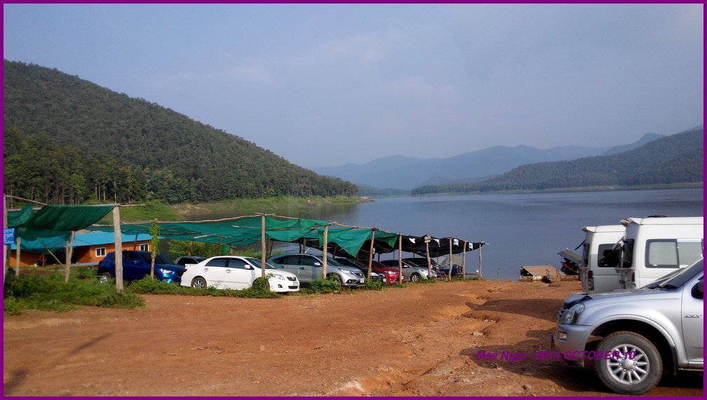
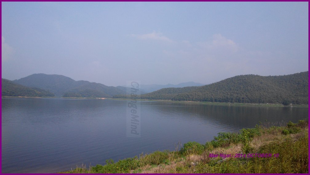
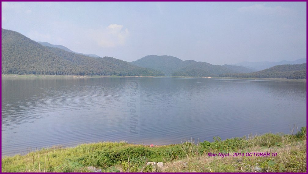
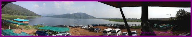
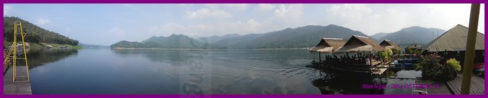
There is a coffee place with an elevated view of the lake at boat launch area. A boat ride costs 500 baht for a 15 minutes (one way) return trip to the restaurants and chalets somewhere out there. You get to make an appointment with the boatman for return timing.
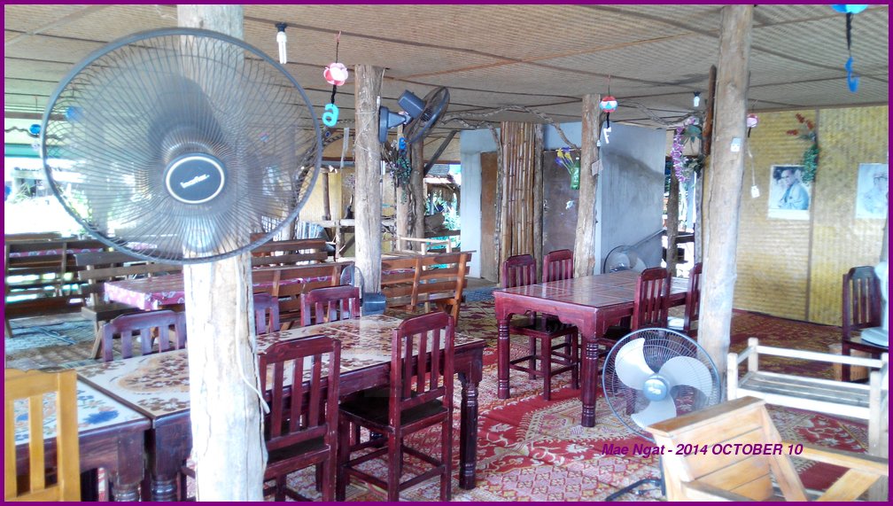
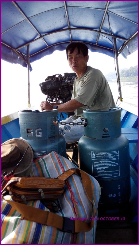
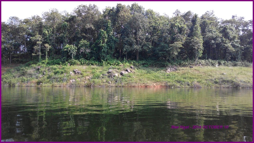
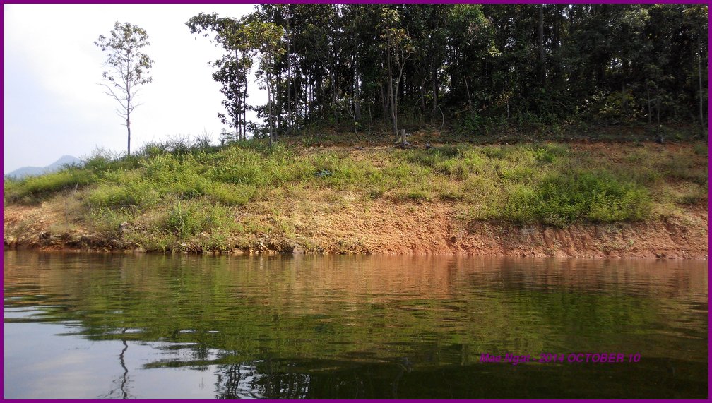
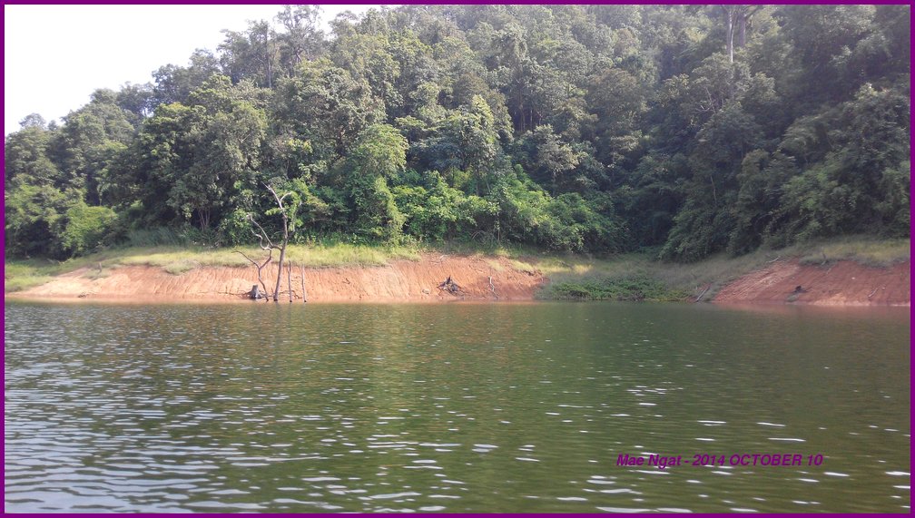
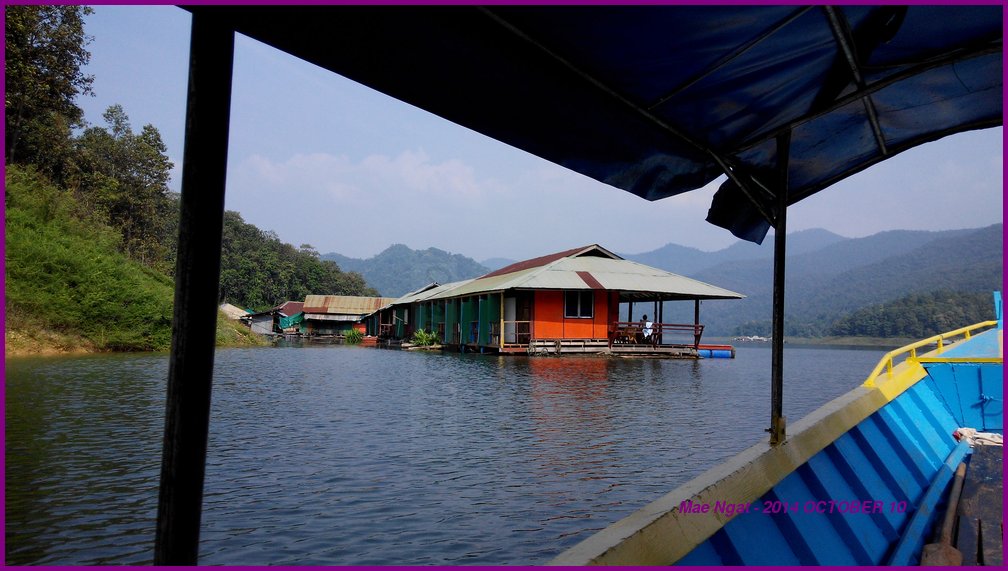
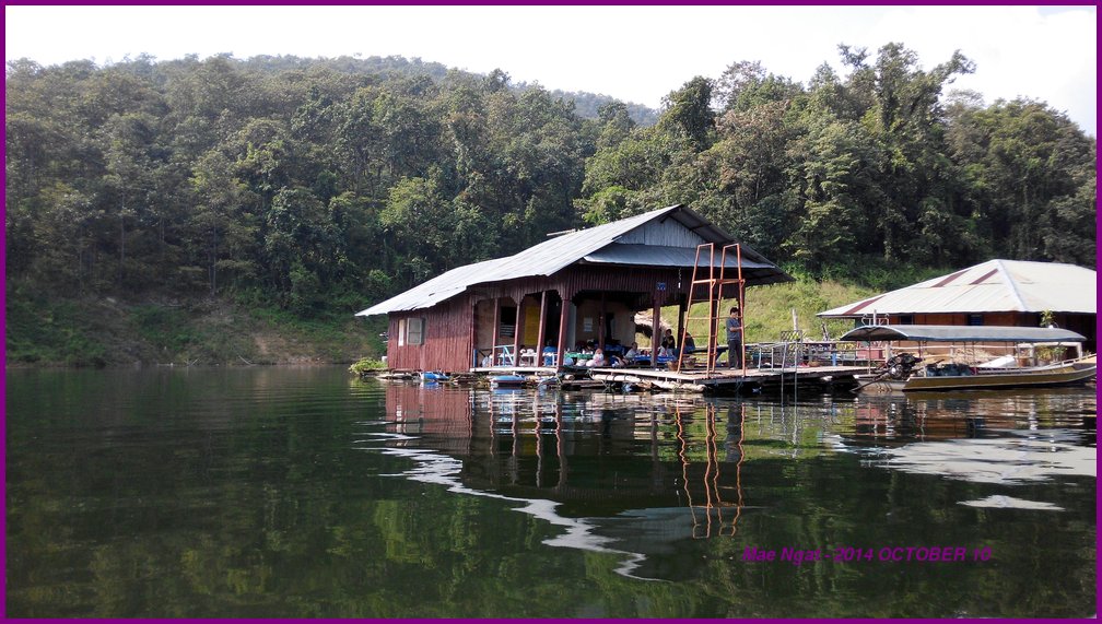
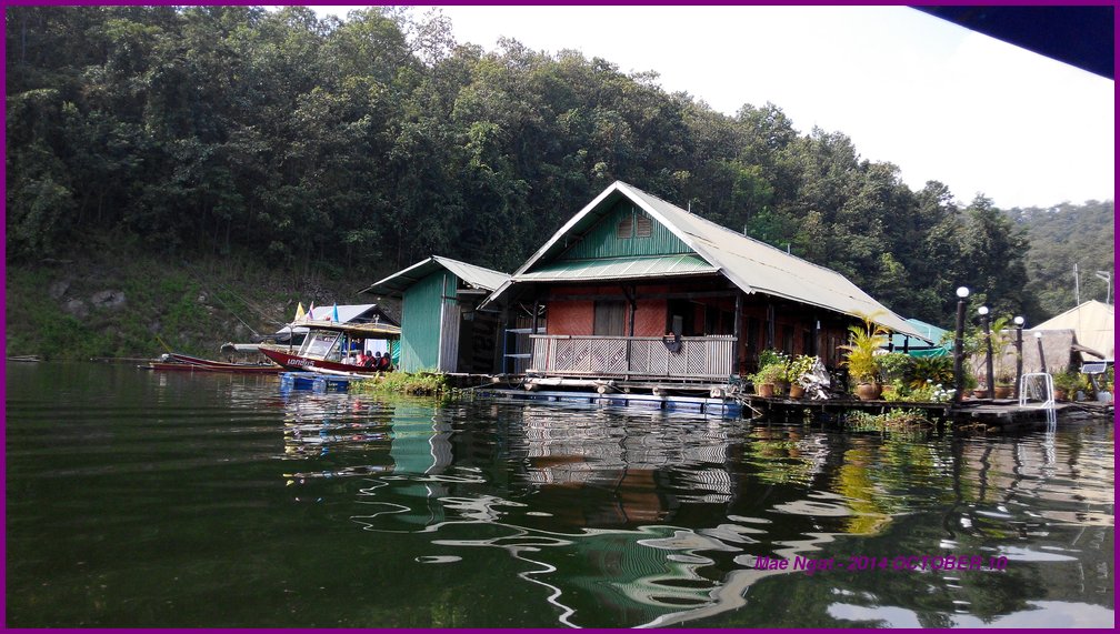
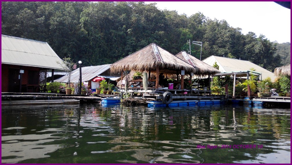
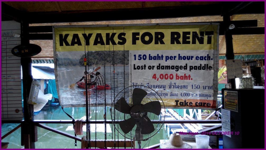
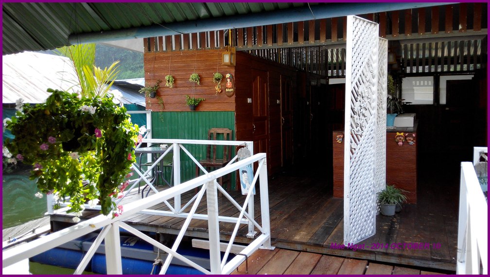
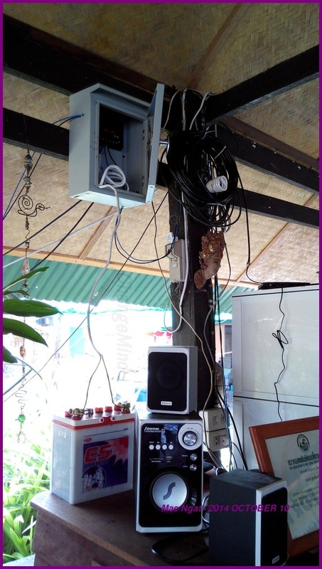
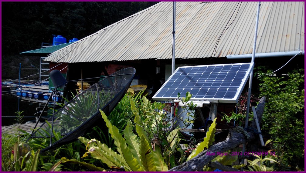
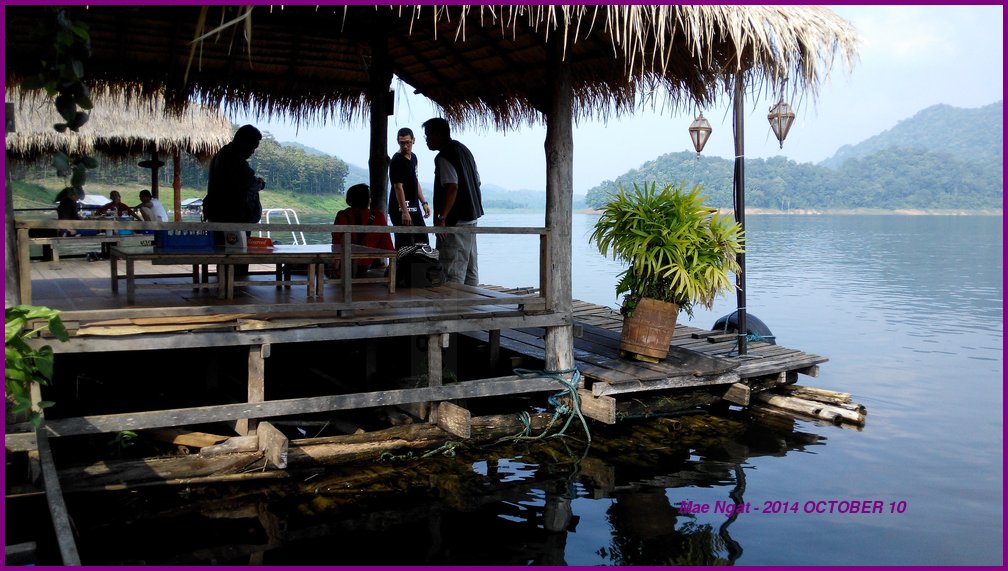
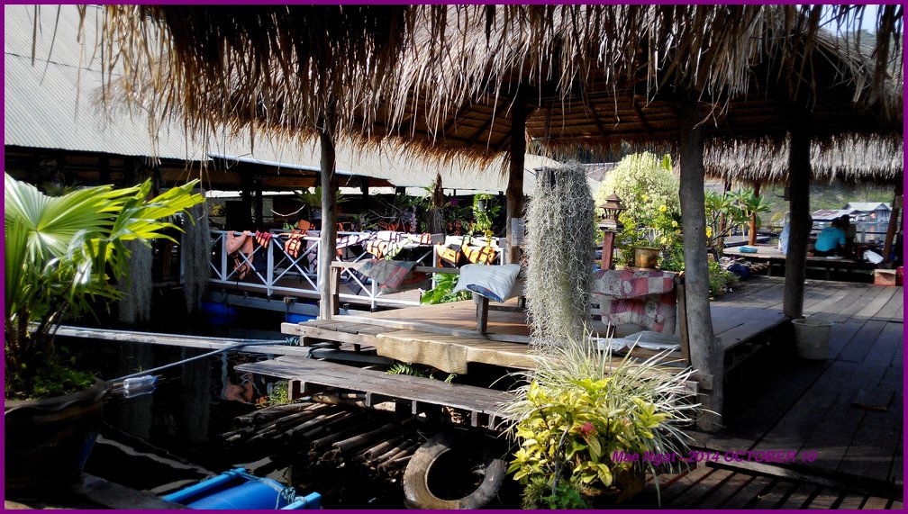
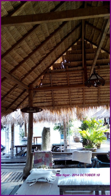
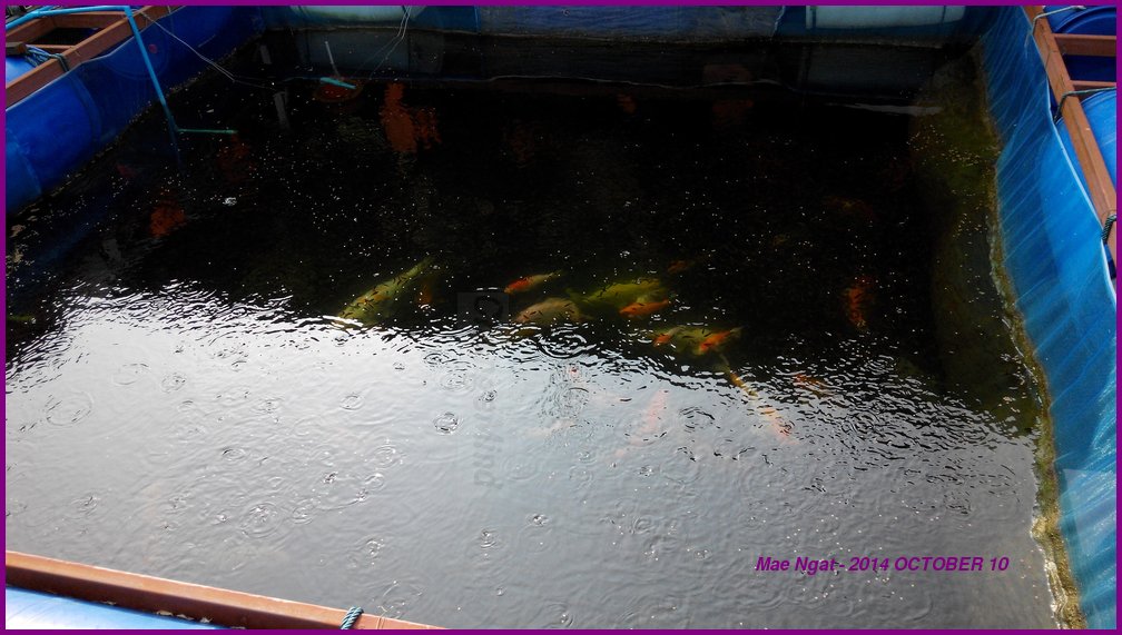
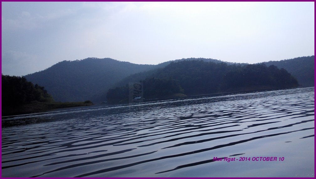
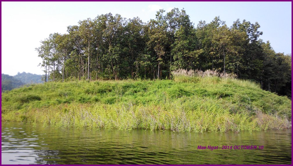
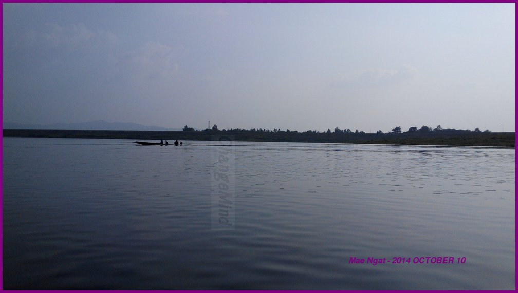
The menu for food is available at the launch counter and you can place your order anywhere. They communicate via walkie talkies. There is nothing much at the destination. Good views, food, kayaks for rental and that is pretty much it. I spent an hour there to relax and take some pictures. I asked for the fan to be turned on and they told me there isn't any electricity. I spotted a lead acid battery powered speakers and a solar panel thereafter. So if you plan to stay there, don't bring any device that requires electricity. Both Dtac and AIS does NOT have signals there.
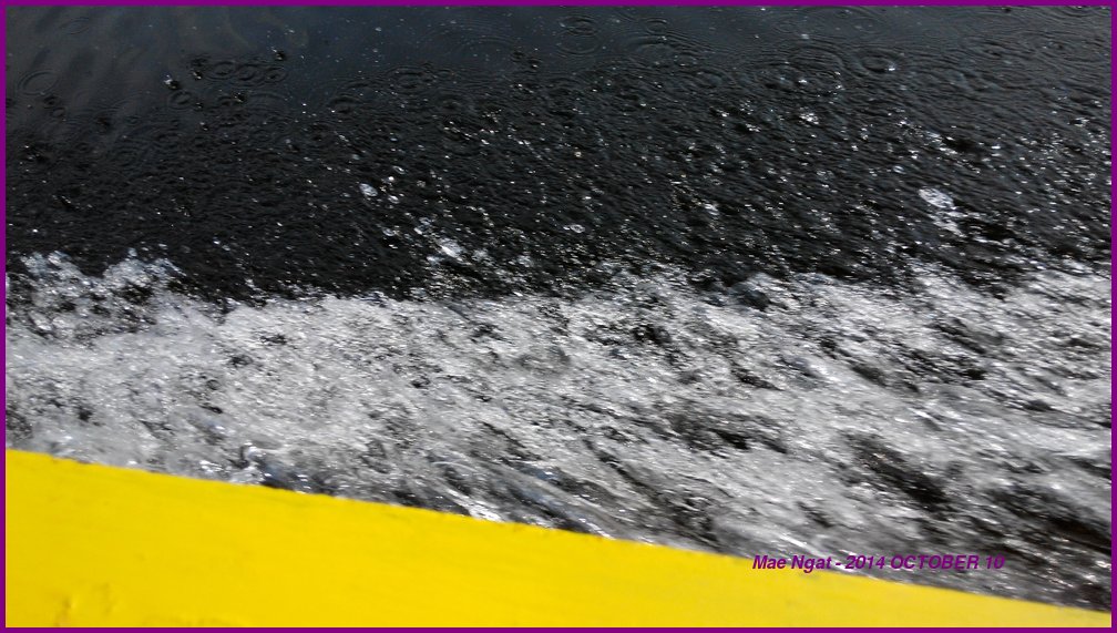
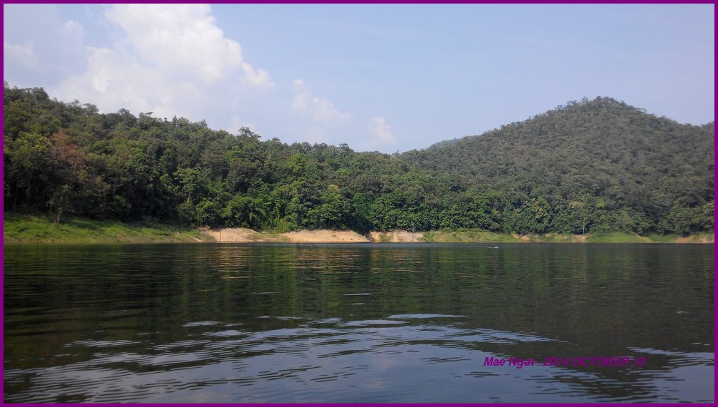
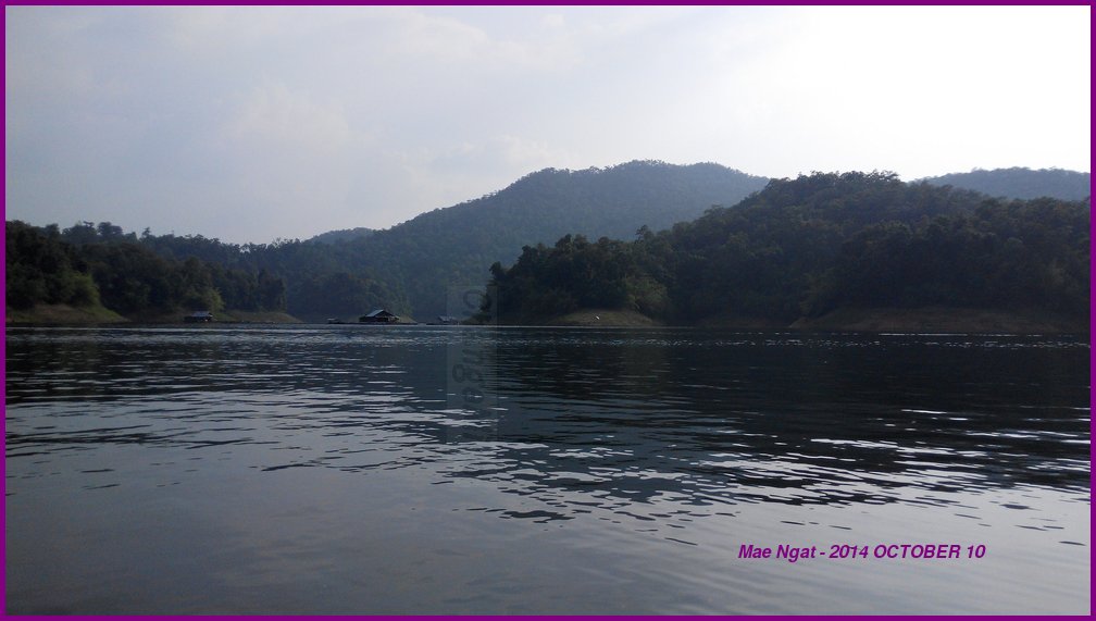
The boat can pich you up at 6pm if you wish to catch the sunset but that is Not good for me because I will be heading back to the city after dark on my motorcycle. I don't like to ride after dark because the flying insects are plentiful and the potholes hardly visible.
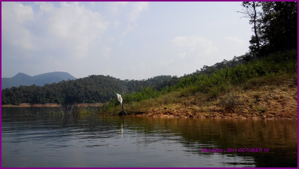
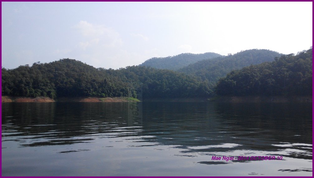
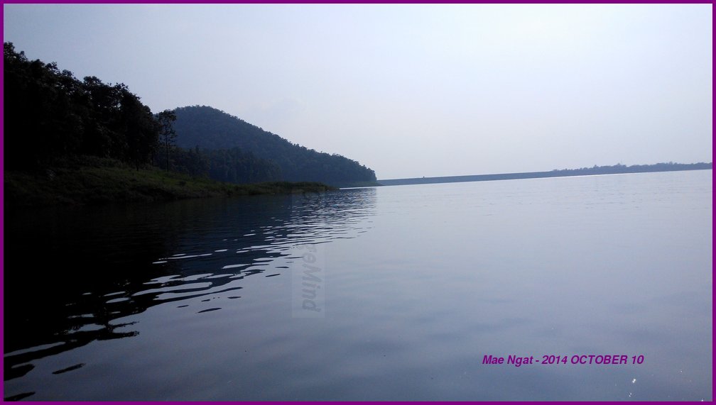
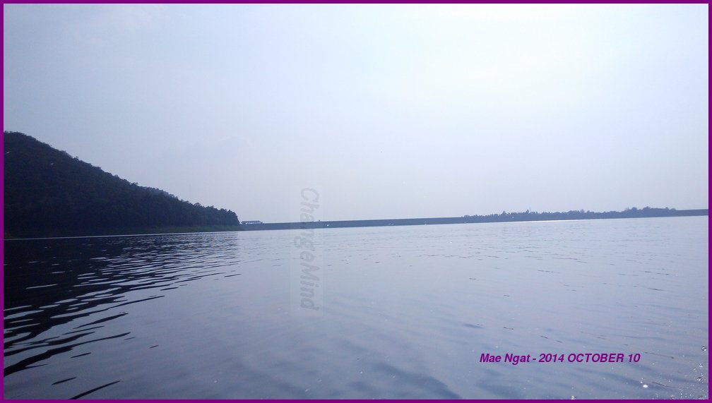
It is a good place to chill and probably catch the sunrise and sunset if you stayed overnight. I have no idea how much that will cost.
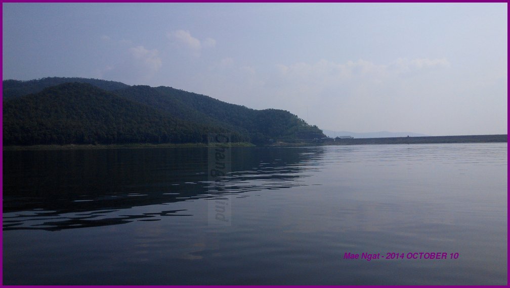
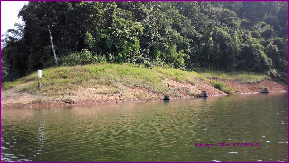
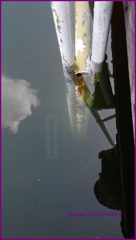
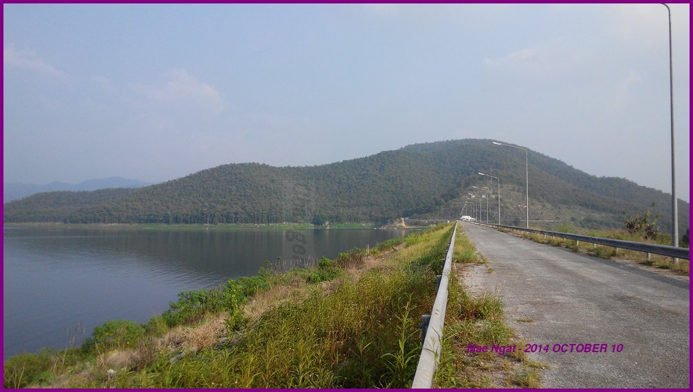
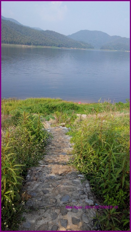
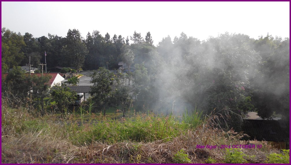
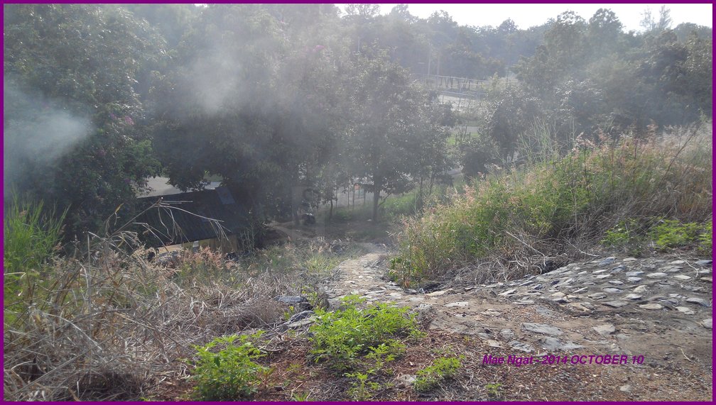
There is a short flight of stairs leading to the dam, concealed behind the sign board that I took a picture of. I spotted a man decending from there while taking the picture. He says it is OK to go up. There is another flight of stairs leading to the lake itself on the other side. I didn't go down that way.
Took the direct 107 back to city. The traffic wasn't as bad as last time.
the video spelt it as = Mae Ngan
the road signs spelt it as = Mae Ngad
the maps spelt it as = Mae Ngat
This is a known problem and having checked with the nice staff at my language school, I know it is near Mae Taeng. No problem locating it on the maps thereafter.
Mae Ngat is a dam at a lake in Chiang Mai. It is near Mae Taeng. Knowing that 107 is a more direct path to Mae Ngat, I took highway 1001 because of the construction on 107 near Mae Rim.
Go straight on 1001 until at the mountains, and take 1323 leads you back to 107 and then on to Mae Ngat.
There is a coffee place with an elevated view of the lake at boat launch area. A boat ride costs 500 baht for a 15 minutes (one way) return trip to the restaurants and chalets somewhere out there. You get to make an appointment with the boatman for return timing.
The menu for food is available at the launch counter and you can place your order anywhere. They communicate via walkie talkies. There is nothing much at the destination. Good views, food, kayaks for rental and that is pretty much it. I spent an hour there to relax and take some pictures. I asked for the fan to be turned on and they told me there isn't any electricity. I spotted a lead acid battery powered speakers and a solar panel thereafter. So if you plan to stay there, don't bring any device that requires electricity. Both Dtac and AIS does NOT have signals there.
The boat can pich you up at 6pm if you wish to catch the sunset but that is Not good for me because I will be heading back to the city after dark on my motorcycle. I don't like to ride after dark because the flying insects are plentiful and the potholes hardly visible.
It is a good place to chill and probably catch the sunrise and sunset if you stayed overnight. I have no idea how much that will cost.
There is a short flight of stairs leading to the dam, concealed behind the sign board that I took a picture of. I spotted a man decending from there while taking the picture. He says it is OK to go up. There is another flight of stairs leading to the lake itself on the other side. I didn't go down that way.
Took the direct 107 back to city. The traffic wasn't as bad as last time.


 RSS订阅
RSS订阅
